The green path - Le Chemin Vert by bike
Pass through the crossroads linking typical Minervois villages, from the Canal du Midi to the foothills along the vineyards.
Can also be done on foot or on horseback.
Description
Signs: Yellow and Green markings (white background)
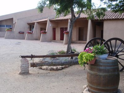
Start at the foot of the church in front of the Jardin de la Paix, where the sign indicating the “Chemin vert” line connecting Puichéric to Caunes-Minervois is located. Take the street named "L. Pasteur" up to the roundabout in front of the town hall (former train station). Take the 5th street on the right and go past the municipal buildings to join the old railway line.
Cross the iron bridge over the Canal du Midi and carry on along the paved road for about 1.5km/0.9mi and then on a tarred road to the village of La Redorte.
At the entrance of the village, turn right onto the D72.
Before the bridge, on the right-hand side, go down the small pedestrian crossing then go under the bridge and cross the Port de la Fabrique until you see the Chemin Vert information panel.
Continue on Avenue du Port, turn right just before the iron bridge on the Roman road. At the crossroads with the D11, turn left and 30m/100ft further on turn right onto the old railway line.
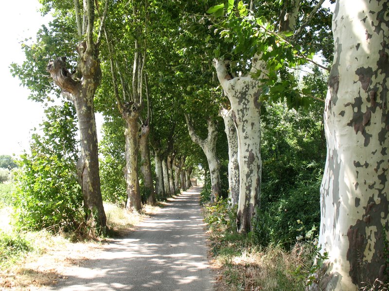
Then turn left on avenue Jean Jaurès, go past the community centre and continue until you reach the Place de l'Eglise. Turn right on avenue du Languedoc for about 150m/500ft and opposite the entrance to the underpass of the Château de La Redorte, turn right via the alley of plane trees and cross the Saint-Georges bridge over the river "l'Argent Double".
Just after the demolished bridge, turn left to go alongside and take the old railway line.
At the junction with the D72, turn right for 200m/650ft until the crossroads.
Turn left for about 250m/820ft (on the left there is the old Azille train station).
At the junction with the rue de la Restanque, go past the Chemin Vert information panel and continue upwards.
While following the signs, at the crossroads turn left in the direction of the Place aux Herbes. Cross it, continue on rue du Commerce and immediately on the right, take rue de la Poste. Arriving on the Allées Pol Lapeyre, turn left and continue your walk on the Allées de la République until you reach the Place César Franck (famous composer).
Turn right and walk down the rue du Théron and just before the demolished bridge, go up the embankment on the right to find the old railway.
At the crossroads with the tarred road, continue straight ahead in the direction of the D206 and cross it. Leave the château de Floris (private estate) on the left.
Cross the iron bridge over the Canet stream and enjoy this section of the trail, surrounded by pine trees and vines. At the concrete path, turn right, go up for 100m/320ft then turn left , and continue on the path until you reach the intersection with a small tarred road.
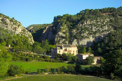
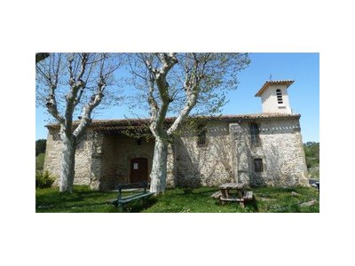
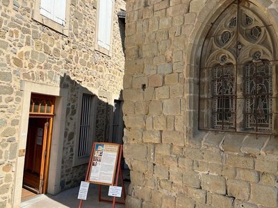
The markings will take you over the small culvert to the Chapelle du Bout du Pont and the information panel of the Chemin Vert de Rieux-Minervois.
Cross the bridge over the Argent-Double river, go straight ahead on rue Notre-Dame.
Turn left on rue du Barry (ramparts on the left) then right up rue Saint Blaise (on the right the Saint Blaise tower).
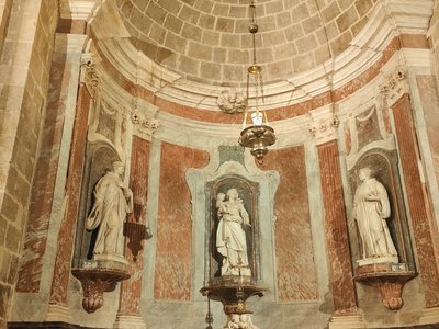
Go past the Tourist Information Center and the Sainte-Marie heptagonal church. In front of the town hall, on the left place du Général Bousquet then on the right on avenue Louis Cros D11. At the post office, go into the rue du Château and opposite the school, take the rue du Moulin towards the boulodrome (boules/pétanque sports ground).
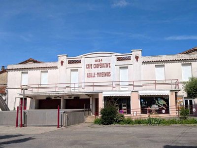
Continue straight ahead, go along the distillery and continue in the direction of the village of Peyriac-Minervois where you will find the Chemin Vert information panel at the entrance. Continue straight ahead, rue de la porte rouge and at the crossroads, turn right and go down rue des Tonneliers until you reach Place de la Libération.
Continue on the borders of the river "l' Argent Double". At the crossroads, take the rue des Mauves opposite and then the chemin des Prades.
Next intersection, turn left for 200m/650ft then right. At the end of the tarmac road, in the middle of the vineyards, take the dirt track on your left and leave the private estate of Pautard on your right.
Arriving on an olive tree alley, turn left towards the water tower, then straight ahead and leave the hamlet Tinal d'Abrens (commune of Laure-Minervois) on your left.
Continue the hike until you reach the old railway line.
At the level of the culvert, take the dirt track on the right along a tree hedge.
Once you have passed the recycling centre, go into the pine alley. Cross the D115 and continue straight ahead on the old railway line in the direction of Caunes-Minervois.
In the trading estate, join the D115, turn left for about 300m/985ft and you will arrive at the old railway station at the end of the Chemin Vert.
- Departure : puicheric - church
- Arrival : caunes - old railway station
- Towns crossed : Puichéric, La Redorte, Azille, Rieux-Minervois, Peyriac-Minervois, Laure-Minervois, and Caunes-Minervois
Forecast
Altimetric profile
Information desks
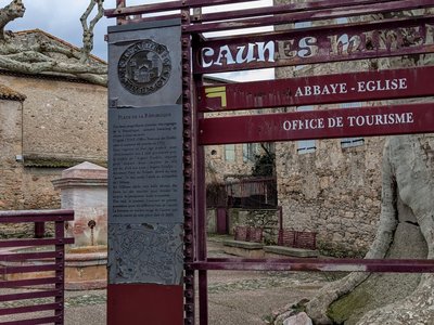
Tourist Information Center - Caunes Minervois
Ruelle du Monestier, 11160 Caunes-Minervois
Report a problem or an error
If you have found an error on this page or if you have noticed any problems during your hike, please report them to us here:
Close by50
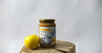
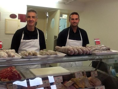
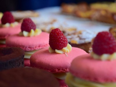
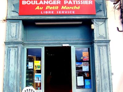
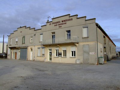
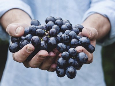
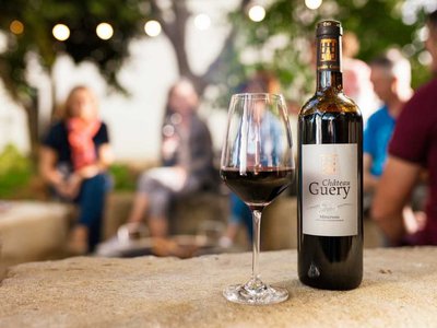
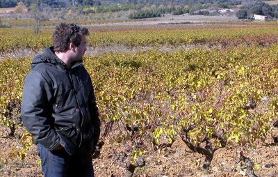
- Wine cellars and local produce
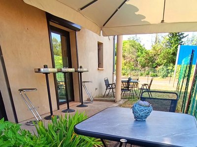
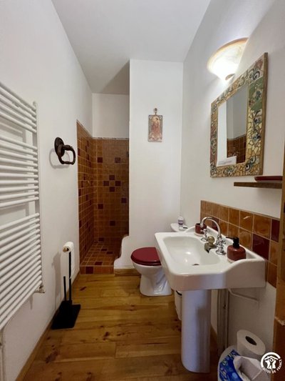
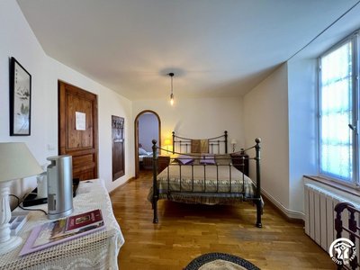
Accommodation
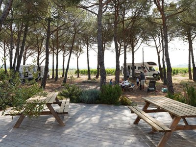
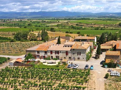
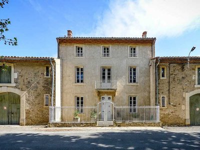
AIRE DE STATIONNEMENT POUR CAMPING-CARS - DOMAINE DES HOMS
Two pitches for van or camper, on the edge of the pine forest, vineyards and olive trees. Petanque, picnic table and barbecue possible, visit of the cellar of the domain. Beautiful view on the Minervois vineyard. Reservation by phone is imperative before your arrival. Arrival before 8 pm. Access to the domain by the village of Rieux-Minervois (D55).- Accommodation
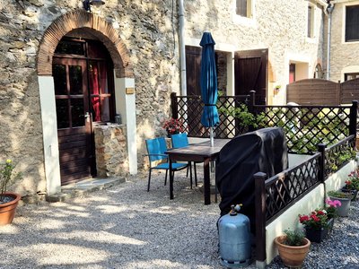
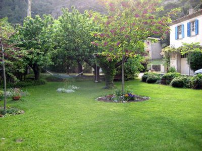
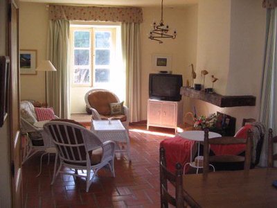
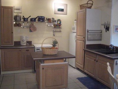
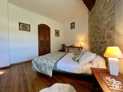
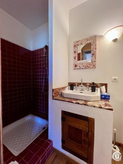
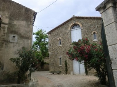
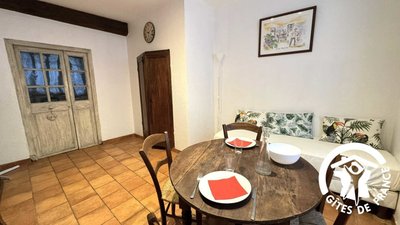
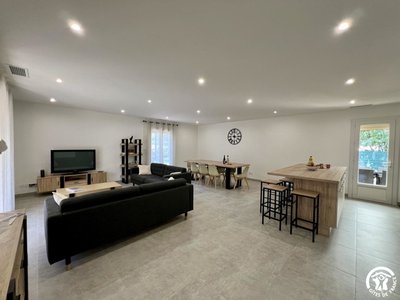
- Accommodation
- Outdoor activities
- Wine cellars and local produce
- Wine cellars and local produce
- Wine cellars and local produce
- Wine cellars and local produce
- Wine cellars and local produce
- Wine cellars and local produce
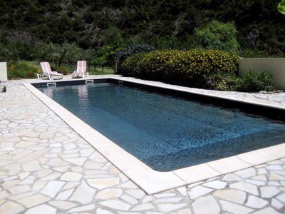
- Accommodation
- Accommodation
- Wine cellars and local produce
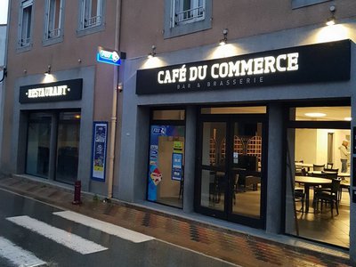
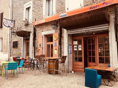
- Restaurants
- Wine cellars and local produce
- Accommodation