The Mills of the Dure river
Description
Signs: Yellow Markings
Departure from the parking lot at the north exit of the village.
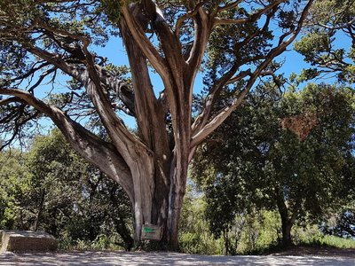
Just after the Saint-Denis gate, take the D8 for 150m uphill. At the first fork in the road on the right, go past the farm "Bellevue". View of the Alzeau and Dure gorges and the village on its promontory. On the first part of the circuit, the paths leading to the various (private) mills follow one another. These took advantage of the driving force of the water to turn mill stones and other machines.
The particular quality of the water of the Dure, which had the necessary properties for cleaning and wool degreasing, allowed the development of a textile industry.
After crossing the hamlet of "Franc", cut the D8 and take the road opposite, the path heads west towards the Alzeau valley.
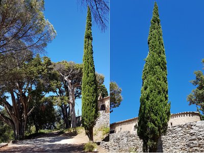
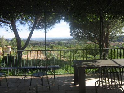
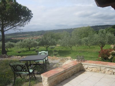
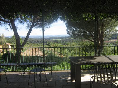
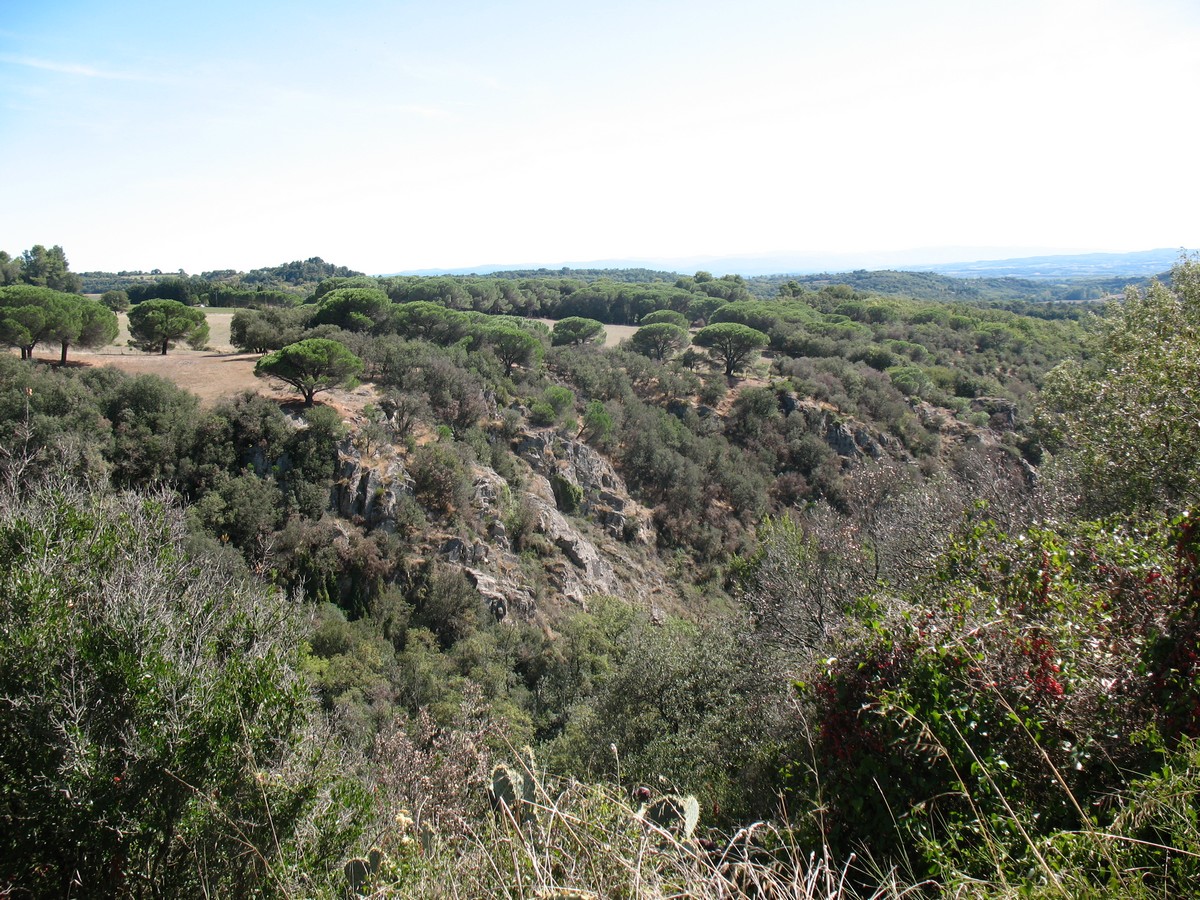
You will enjoy the view of the Pyrenees.
Arriving at the pig farm, turn left on the downhill path.
600 m further on, a fork on the right will make you join the Alzeau river by going down in the undergrowth. The river lost its mills in the 13th century when part of its water was captured to feed the Canal du Midi (gully of the Montagne Noire).
Follow the river up to the bridge of "l'Isoule" dating from the 12th century: observe the two arches and the remarkable ferns on the nearby banks. Go back on the path for 100m, take the time to observe the traces of cart wheels in the stone and then turn right. Slight ascent in the shade of the vegetation then pass under a power line.
At the crossroads with the track, continue straight ahead. Then quickly the markers will guide you back to the undergrowth, allowing you to discover a capitelle (dry stone hut). It is visible from a small layon on the left.
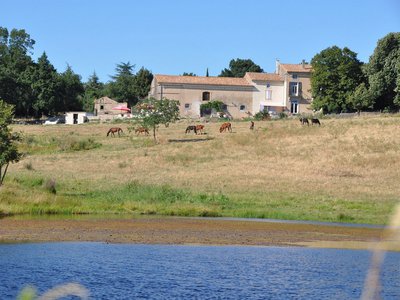
When you get back to the main track, a little further on the right, a promontory with a view of the “Chateau de Villeneuve” and the gardens below.
At the exit of the wood, a large open area with a breathtaking view over the Pyrenees; and back to the village of Montolieu.
- Departure : MONTOLIEU – Parking lot “Porte de Saint Denis”
- Arrival : MONTOLIEU – Parking lot “Porte de Saint Denis”
- Towns crossed : Montolieu
Forecast
Altimetric profile
Recommandations
You will not see mills directly (as they are now demolished)
You will pass close to the river by the end of the loop.
Information desks
Transport
Access and parking
Report a problem or an error
If you have found an error on this page or if you have noticed any problems during your hike, please report them to us here:
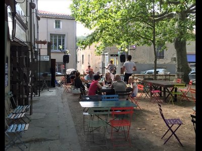
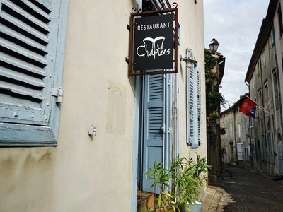
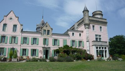
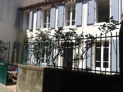
Close by50
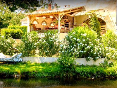
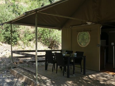
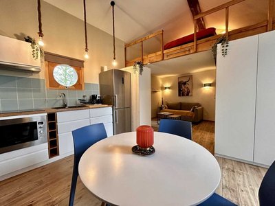
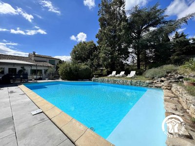
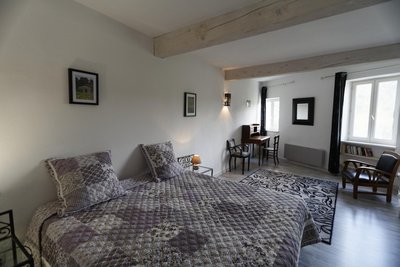
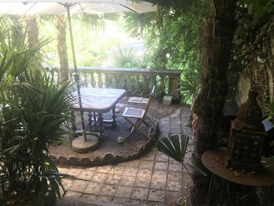
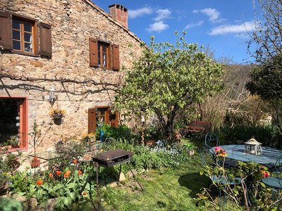
- Accommodation
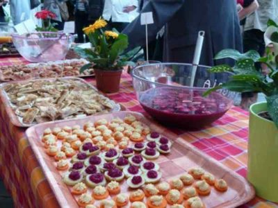
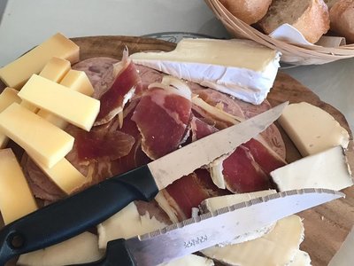
- Wine cellars and local produce
- Restaurants
- Accommodation
- Restaurants
- Wine cellars and local produce
- Wine cellars and local produce
- Accommodation
- Accommodation
- Restaurants
- Restaurants
- Accommodation
- Accommodation
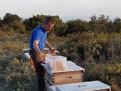
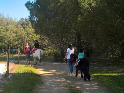
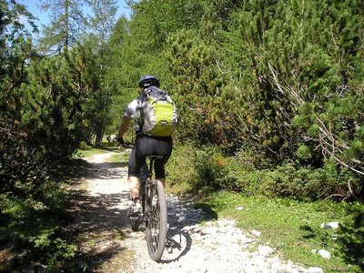
- Outdoor activities
- Wine cellars and local produce
- Accommodation
- Outdoor activities
- Accommodation