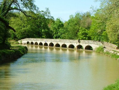
The twelve bridges (Epanchoir long)
Take time to observe the Estagnol’s ponds natural reserve wild fauna.
Description
Markings : yellow
When facing the canal du Midi , take a right turn and follow along the canal (going South).
Walk under the bridge and carry on a straight line after the last houses. You will walk near some olive trees and along the canal’s vegetation.
After approximately 1.5 km, go up the bank on the right to take the path on the left right away. You end up on the old railroad (now the "chemin vert" hike) .
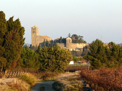
After 200 m, at the crossroad, go on the right to immediately go up in the pine forest on the left (going West). Go up inside the pine forest, walk alongside on the right to find a small path on the left that follows the vines on the hillside with a view on La Redorte village. Follow this path until the crossroad with the paved way.
Take on the left and go up the plateau. On the way down, at the entrance of the pine forest, go on the right towards a small shadowy path quite enjoyable in the summer.
Carry on the earth path along the vines. At the crossroads, go left and down until the passage of " La Valsèque" stream (often dried up) and go back up straight forward to the neighbouring pine forest (going South).
Turn on the left (going West) and walk along the pine forest. Walk in front of the square tower of La Valsèque (ancient observatory during WWII at 92m high).
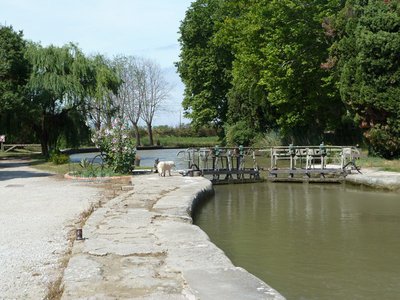
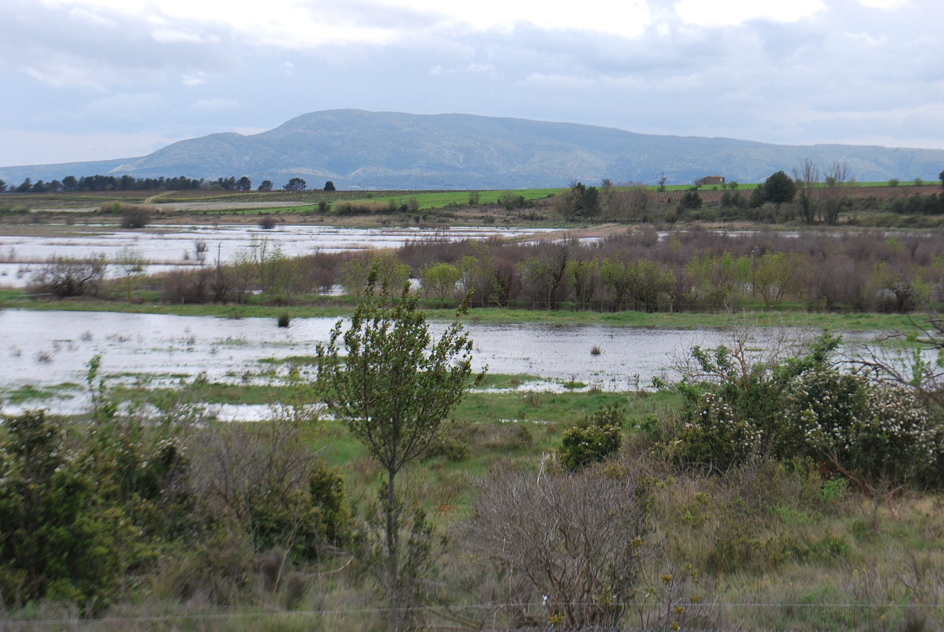
Go along the paved way and walk alongside La Valsèque’s smallholding by the right. Follow through the path in the vines until the Estagnol pond (National Reserve for wild fauna).
Take the paved way (going North), go along the pond until the cross-path with the tall pines.
Take the path on the left then immediately on the right trough the pine forest. Go around the pond by a small path on the right that progressively goes back up the hillside to a small vineyards shack after walking at the bottom of an electric pylon. Once at the shack, take the path on the right (going East). You are now on the Estagnol plateau (100 m high).
At the crossroad, go down the paved way on the left (going North-East). Leave the Laval path and go on the bridge over the Rivassel stream.
Cross the RD 11 and use the path in front of you. Walk to the Argent-Double river and the « Gourgue de Granat ». Follow the river on its right (East). Then go back towards the village. We then oversee the ancient aqueduct’s archway. Take the Pic de Nore street on the left.
Then turn immediately on the right on Languedoc avenue. At the crossroad, turn left on Jean Jaurès main avenue for approximately 250 m then turn on the right on the old railroad to reach the RD11.
Cross it, turn left then right ( « voie romaine » street).
Further down, on the right to the Port avenue then straight forward to go back to Port La Fabrique.
- Departure : LA REDORTE - Port La Fabrique
- Arrival : LA REDORTE - Port La Fabrique
- Towns crossed : La Redorte and Puichéric
Forecast
Altimetric profile
Information desks
Tourist Information Center - Caunes Minervois
Ruelle du Monestier, 11160 Caunes-Minervois
Report a problem or an error
If you have found an error on this page or if you have noticed any problems during your hike, please report them to us here:
Close by50
Accommodation
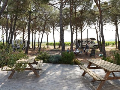
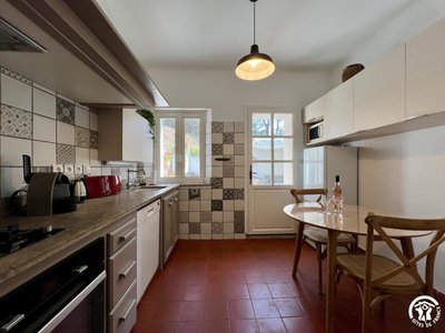
AIRE DE STATIONNEMENT POUR CAMPING-CARS - DOMAINE DES HOMS
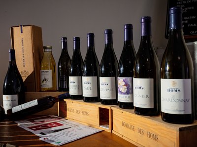
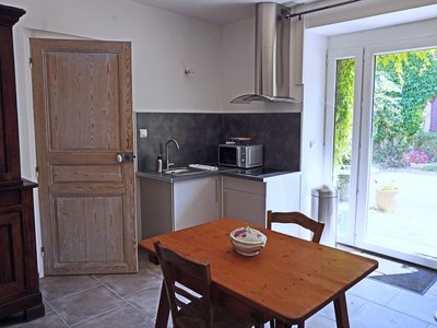
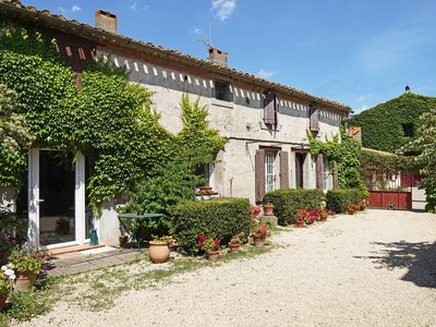
Two pitches for van or camper, on the edge of the pine forest, vineyards and olive trees. Petanque, picnic table and barbecue possible, visit of the cellar of the domain. Beautiful view on the Minervois vineyard. Reservation by phone is imperative before your arrival. Arrival before 8 pm. Access to the domain by the village of Rieux-Minervois (D55).- Wine cellars and local produce
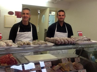
- Wine cellars and local produce
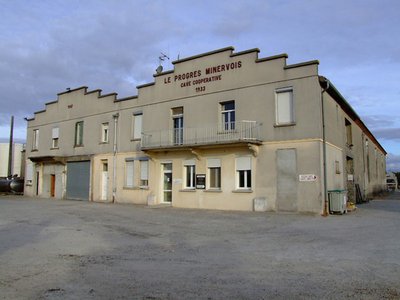
- Wine cellars and local produce
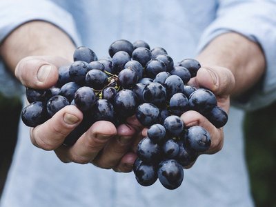
- Wine cellars and local produce
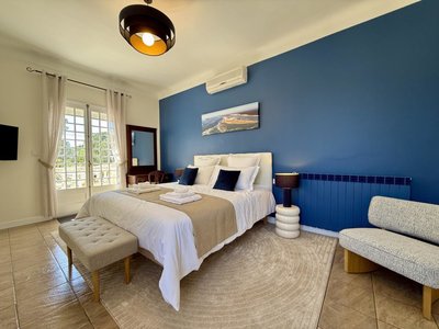
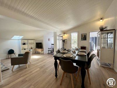
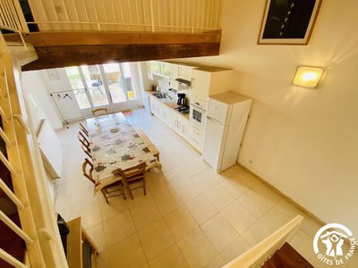
- Accommodation
- Accommodation
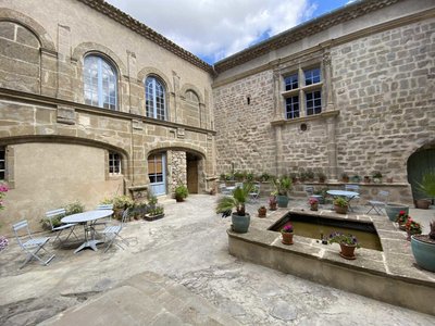
- Wine cellars and local produce
- Wine cellars and local produce
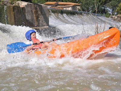
- Outdoor activities
- Accommodation
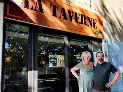
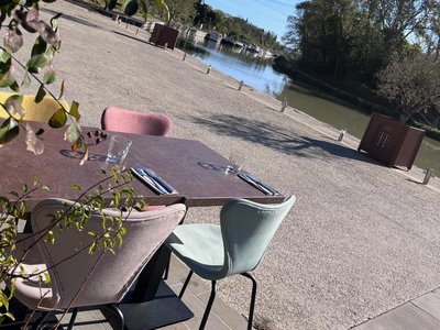
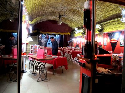
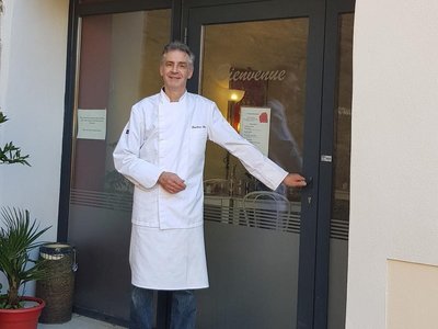
- Restaurants
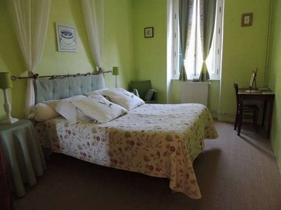
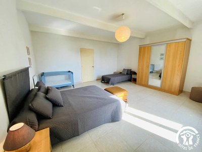
- Accommodation
- Accommodation
- Accommodation
- Restaurants
- Accommodation