GR®36
Discover a diverse range of landscapes, breathtaking panoramas, unspoiled wilderness, and an exceptionally rich variety of flora and fauna. (source: aude-rando)
This route is the section of the trail that passes through the Carcassonne metropolitan area.
Description
Trail Markings: red and white
Montagne Noire
The trail passes through Trassanel (must-see: the Grotte du Maquis), near Limousis (must-see: guided tour of the cave).
Sallèles-Cabardès, Villegly, Conques-sur-Orbiel.
Canal du Midi and Carcassonne
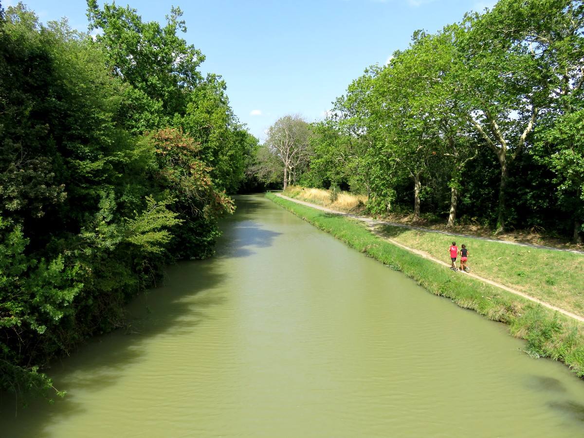
North of Villedubert, the trail joins the Canal du Midi and the GR 78 all the way to Carcassonne.
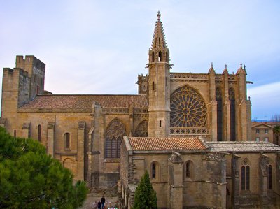
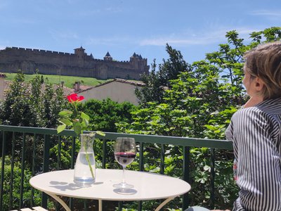
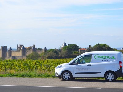
Walk through the bastide of St. Louis, cross the Old Bridge, and pass through the medieval city; follow the vineyard path at the foot of the citadel toward Lake Cavayère.
Mount Alaric
Pass through Montirat and head toward the Corbières and Mount Alaric via Monze; before reaching the ruins of Miramont Castle, admire the stone stoup of Floure...
You are on Mount Alaric
- Departure : TRASSANEL
- Arrival : CAPENDU
- Towns crossed : Castans, Pradelles-Cabardès, Cabrespine, Fournes-Cabardès, Trassanel, Sallèles-Cabardès, Limousis, Villegly, Conques-sur-Orbiel, Villalier, Villedubert, Villemoustaussou, Carcassonne, Palaja, Montirat, Monze, Floure, Barbaira, Val-de-Dagne, Capendu, Comigne, Lagrasse, Douzens, Moux, Camplong-d'Aude, and Ribaute
Forecast
Altimetric profile
Access and parking
The starting and ending towns are provided for reference only; you can choose to start from wherever you like.
More information

Report a problem or an error
If you have found an error on this page or if you have noticed any problems during your hike, please report them to us here:
Close by50
- Accommodation
- Restaurants
- Accommodation
- Accommodation
- Restaurants
- Accommodation
- Wine cellars and local produce
- Wine cellars and local produce