The “Capitelles” - Trail of Fontanilles
Each “capitelle” bears a different girl’s first name.
Description
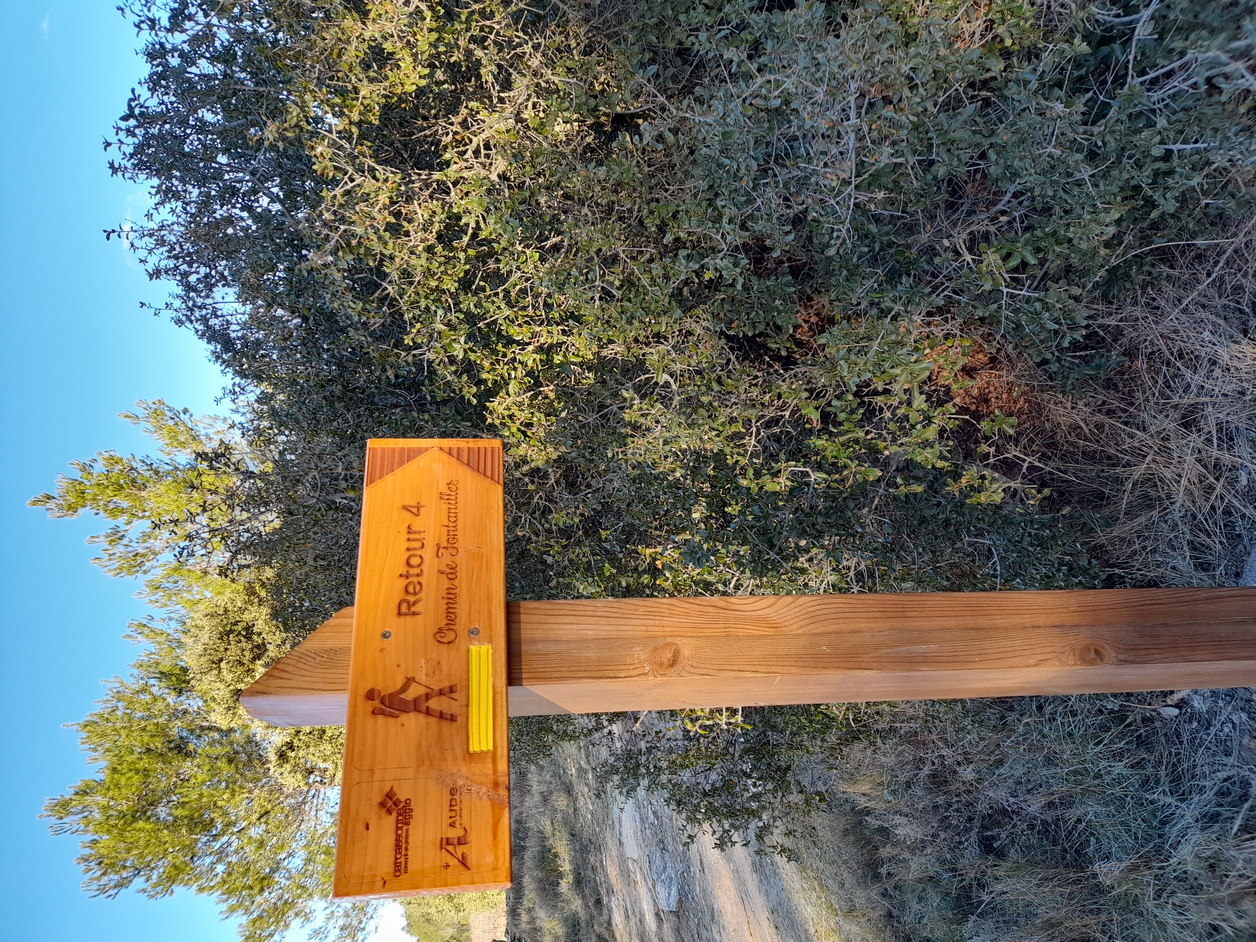
Trail Markings: yellow
Starting Point: With your back to City Hall.
Turn left, then at the intersection, take Rue des Oliviers—this is where the trail markers begin. At the top of the housing development, turn right and head up toward the scrubland, where the first sign on the left points to the path leading to a small capitelle; above it, a larger one with a shelter leans against the fence. Pass through a grove of holm oaks and giant broom, turn left onto the cart path, then right to reach an old raised garden with a restored capitelle near a small chasm.
Climb about ten stone steps and return to the scrubland. Turn right and follow the wall to the north.
At the water tower, rejoin the old cart track and continue along the La Guinette municipal path.
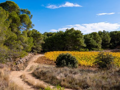
Enter a pine forest heading toward Pech Majou Sud. As you climb, enjoy a beautiful view of the Romanesque bell tower of Saint Jacques d’Albas and the Château de Villarlong (pre-Romanesque chapel and Visigothic ruins).
Cross a remarkable cypress forest (20-meter-tall trees, to the right and left of a deep ravine). Above a small stream, climb about thirty steep steps to reach a flat area.
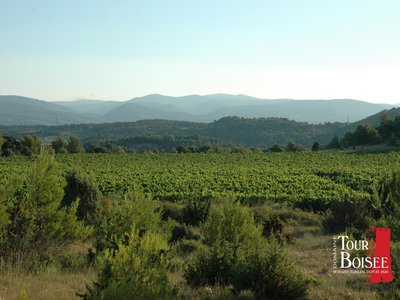
Head north, following the wall of upright stones (capitelle) bordering a vast pasture (carpeting with rockroses). To the east, there’s a beautiful view of the village, the Crapam, and the Alaric. Descend toward Pech Majou Nord (a small, restored "capitelle" with a door on the north side).
Reach a large square “capitelle” (arched with a dome, with splayed openings to the north and east) via a flight of twelve steps. On either side, a sloping wall has been built, with stones overlapping in a scale-like pattern. Take the “Carretal” (cart path) westward (a beautiful, straight 100-meter path lined with well-restored low walls). Turn right, follow the wall, and enjoy the panoramic view of Figuères. Go down toward Figuères, crossing a large pine forest toward Métairie Neuve.
You’ll reach a path; turn right toward Les Fontanilles, then descend to the stream and cross it. Pass through a grove of magnificent Aleppo pines and cade junipers to reach Rancoule (look for a square capitelle in a vineyard, near a sunken path).
Follow the path that runs alongside the vineyards. There is a massive square capitelle on the left. You’ll reach the “enclos” of Pont de Canet (a wall of vertical or slanted stones). A square "capitelle" leans against the wall.
At the very bottom, just before the Calvary of the Cross of Saint Peter, take the small descending trail to the right. Walk alongside the olive groves and then a hedge of cypress trees.
- Departure : Laure-Minervois - City Hall
- Arrival : Laure-Minervois - City Hall
- Towns crossed : Laure-Minervois
Forecast
Altimetric profile
Information desks
Tourist Information Center - Caunes Minervois
Ruelle du Monestier, 11160 Caunes-Minervois
Access and parking
From Carcassonne, there are two options:
Either take the D6113 to Trèbes, then the D135 to Laure. Or take the D620, pass through Villalier, then turn right onto the D37 before Villegly, pass through Bagnoles, and continue on the D35 to Laure.
Report a problem or an error
If you have found an error on this page or if you have noticed any problems during your hike, please report them to us here:
Close by50
- Attractions
- Wine cellars and local produce
- Wine cellars and local produce
- Wine cellars and local produce
- Wine cellars and local produce
- Accommodation
- Accommodation
- Wine cellars and local produce
- Wine cellars and local produce
- Wine cellars and local produce
- Wine cellars and local produce
- Wine cellars and local produce
- Outdoor activities
- Accommodation
- Wine cellars and local produce