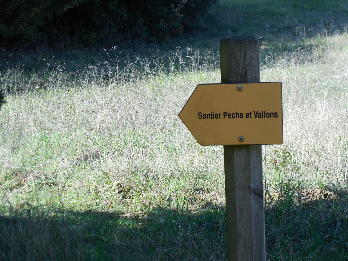
Pechs et Vallons
A trip through the vineyards with beautiful passages in the garrigue.
Description
Signs: Yellow markings
Leave from the parking lot in front of the village grocery store. Reach the village centre and cross it by the main street.
Turn left, rue Saint-Marc and go down to the bridge.
Just after the bridge, turn right immediately onto the small service road along the brook.
Join the road, go down and turn left; 50 meters further, turn right onto a small road.
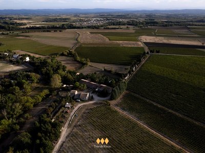
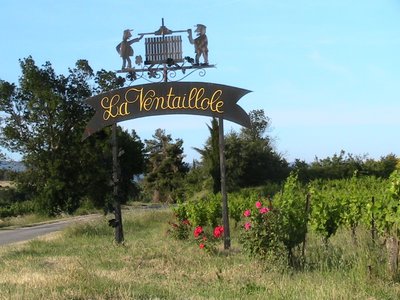
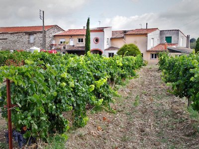
This road climbs gently up to the Ventaillole vineyards.
Take the road on the left and go down to Deumier.
At the fork in the road, turn right and go straight ahead.
Go along the vineyards and reach a crossroads in the garrigue (point of connection with a hiking trail in the village of Aragon).
Walk along a small path on the left, in the undergrowth, a capitella (drystone sheperds hut) faces you on the old Raissac path. Leave the garrigue and at the crossroads, go opposite to the farm of Bourriette ("small farm", from the Occitan "borie": the farm).
Just after the buildings, turn right and then left to go along the vineyards at the foot of Pech Saint-Jean (highest point of the Commune).
Go down and cross a wooded coomb.
Cross the bridge and turn left (ampelographic trail showing the vines and the different grape varieties).
After 600m, reach a crossroads. Go down on the left through the vineyards (capitelle on the right, panorama on the village and beyond on the Cité of Carcassonne).
Return to the village on the D38.
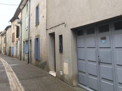
Back in the centre, take some time to stroll through the narrow streets around the castle.- Departure : VENTENAC – Parking lot in front of the grocery store
- Arrival : VENTENAC – Parking lot in front of the grocery store
- Towns crossed : Ventenac-Cabardès and Moussoulens
Forecast
Altimetric profile
Report a problem or an error
If you have found an error on this page or if you have noticed any problems during your hike, please report them to us here:
Close by39
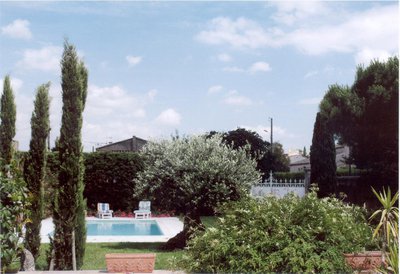
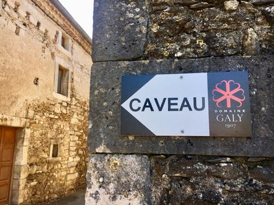
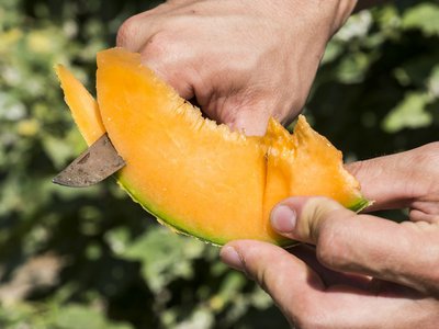
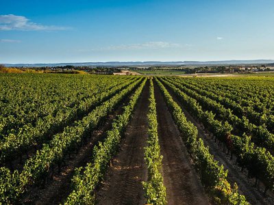
- Wine cellars and local produce
- Wine cellars and local produce
- Wine cellars and local produce
- Wine cellars and local produce
- Wine cellars and local produce
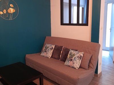
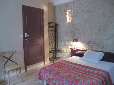
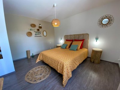
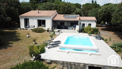
- Accommodation
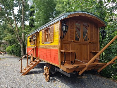
- Accommodation
- Wine cellars and local produce
- Wine cellars and local produce