Sentier du Marbre - Villeneuve loop
Some magnificent viewpoints await you along the journey.
Description
From the parking lot of the Vitalis Cros Complex ( multi-purpose hall), take the path along the stadium. Turn right as you come out.
Follow the signs, first on the road, then quickly by the old windmill track.
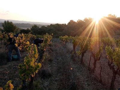
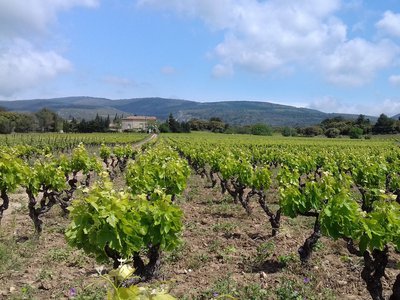
Continue through the vineyards for 2.5km until you reach the Château de Villerambert.
Turn left immediately, on the path going up to the D289.
This path dominates the active Villerambert quarry .
Turn right. After a few hundred meters, a parking lot marks the site of the former Villeneuve quarry, the path leaves the D289 on the right. After 500m, it joins the D289 and leaves it again at a hairpin bend.
Then take the earth track on the left towards the West.
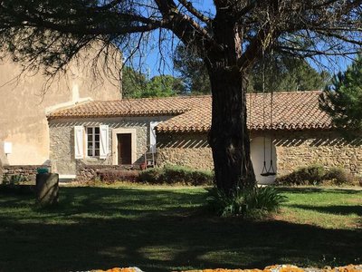
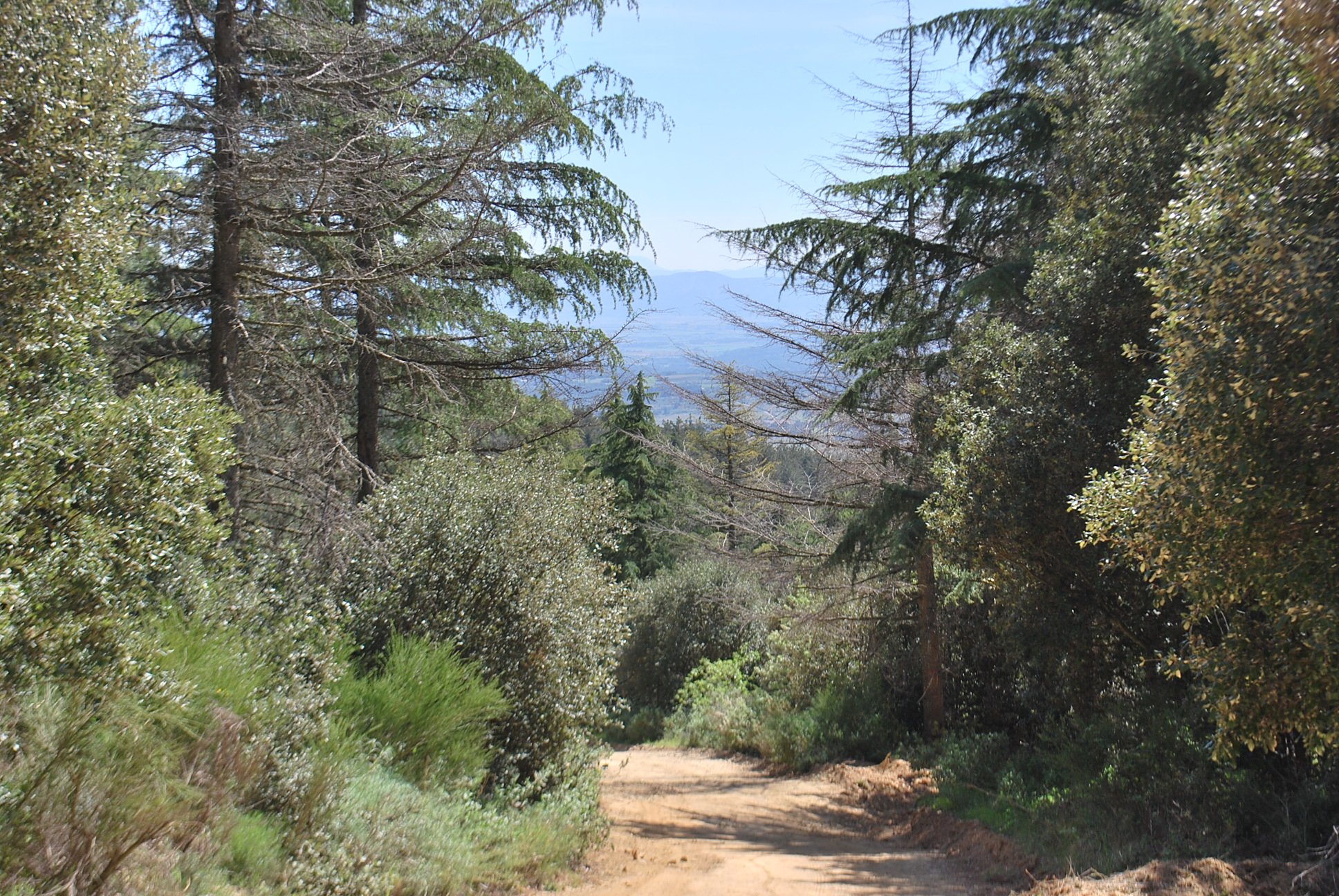
A beautiful view over the valley of the Aude and an old farmhouse awaits you. The next change of itinerary is a turn to the South (to the left), marking the approach to the highest point of the hike at an altitude of 555m/1820ft: a panorama over the Clamoux gorges.
Begin the descent to Villeneuve-Minervois, at the star-shaped crossroads, take the path opposite slightly to the left.
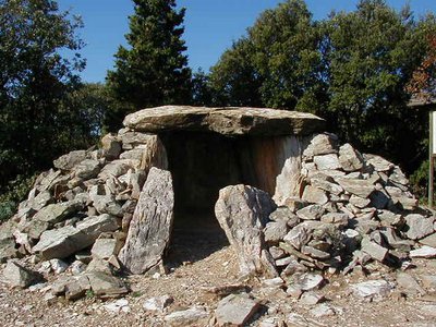
On the way back, take some time to admire an old lime kiln and the dry stone huts.
- Departure : Villeneuve-Minervois - Complexe Vitalis Cros carpark opposite the town hall
- Arrival : Villeneuve-Minervois - Complexe Vitalis Cros carpark opposite the town hall
- Towns crossed : Villeneuve-Minervois, Caunes-Minervois, and Cabrespine
Forecast
Altimetric profile
Information desks
Tourist Information Center - Caunes Minervois
Ruelle du Monestier, 11160 Caunes-Minervois
Report a problem or an error
If you have found an error on this page or if you have noticed any problems during your hike, please report them to us here:
Close by40
- Accommodation
- Wine cellars and local produce
- Wine cellars and local produce
- Wine cellars and local produce
- Wine cellars and local produce
- Restaurants
- Accommodation
- Accommodation
- Accommodation
- Wine cellars and local produce
- Wine cellars and local produce
- Wine cellars and local produce
- Wine cellars and local produce
- Restaurants
- Restaurants

