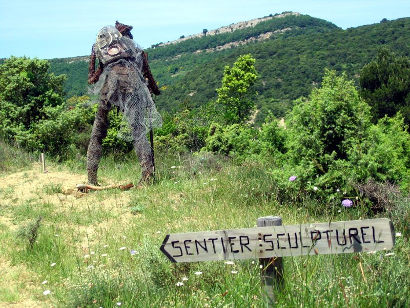
The Sculptural Trail (Le Sentier Sculpturel)
Description
Signs: Yellow markings
Park in the parking lot at the entrance of the village.
At the bottom of the parking lot on the right side, take the track leading to a small bridge over the Madourneille stream. Turn immediately to the right and 30m later to the right again and follow the stream.
At the crossroads, turn left and then left again, take an ascending path also borrowed by the GR36 hiking trail.
Join a wide track, take it to the left and follow it. It turns right then left, crosses a stream and climbs to a pass (viewpoint on the Corbières).
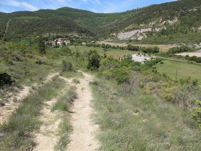
Leave the track and go down a path on the left. Cross a plateau then a gullied ground and continue on the track in the same direction until you reach the crossroads of the Serrat de la Bouzole. Go down on the left and follow an electric line. The path goes away from it and turns right to plunge into the forest. Leave a path going down to the left and continue straight on the main path.Ford under the power line.
At the level of an abandoned building, the path widens to become a track. Go around the ruin, ignore a track that goes down on the right to continue to a crossroads.
Turn left. After 200m, turn right towards a fenced vineyard. Go along it while going up in the bed of the brook. At the top of the vineyard, turn left onto a steep path. Climb natural steps in the rock and then go around a bush on the left. Once you find the path again, turn right and walk along a field.
Join a track and follow it downhill. At the bottom, at the crossroads of tracks, take the one on the right to reach the bridge. Then turn left on the small bridge for a return to the parking lot.
- Departure : MAYRONNES – Parking lot at the entrance of the village
- Arrival : MAYRONNES – Parking lot at the entrance of the village
- Towns crossed : Mayronnes
Forecast
Altimetric profile
Recommandations
Beware of the heat, there is little shade, avoid hot hours and protect yourself from the sun (hat and sunscreen) and bring water (drinking water point at the parking).
During the hunting season (mid-August to mid-January), it is safer in the afternoon, as hunters may be on the trail in the morning.
Information desks
Transport
Access and parking
Take the D3 from Trèbes, cross Monze and Pradelles-en-Val then the D114 and cross Serviès-en-Val, Rieux-en-Val, Caunettes-en-Val (D42) and join Mayronnes (D41).
More information
Report a problem or an error
If you have found an error on this page or if you have noticed any problems during your hike, please report them to us here:
Close by7
- Wine cellars and local produce
- Wine cellars and local produce