The Obscure Combe
Description
Signs: Yellow markings
From the village, take the direction of the hamlet of Caunettes Hautes.
At the bottom of the Côte de Regord, on your left, a picnic area indicates the start of the loop.
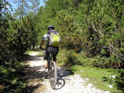
Once in front of the sign, take the path going to the right and crossing the pine forest.
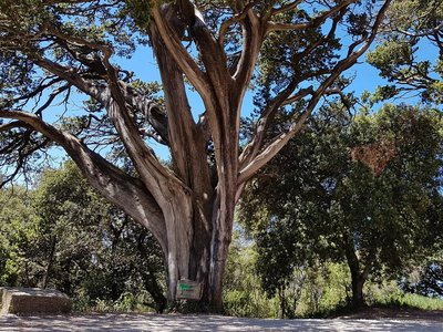
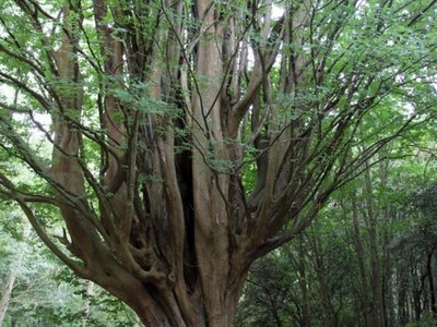
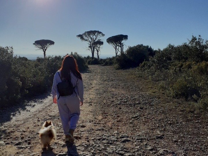
At the end of this one, the plateau covered with garrigue appears, notched by fancy streams where thyme is omnipresent.
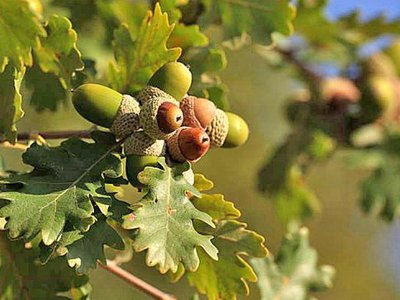
Take the small wooden bridge which spans the brook of La Combe, progress in the middle of boxwoods, kermes oaks and junipers.
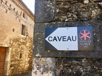
Then the path crosses the D48, the yellow markings take you to the track on the right allowing you to discover the vineyard.
At the road, turn left towards Caunettes-Hautes. At the entrance of the hamlet, turn left again and take the track in the centre of the big open area.
As you approach the first grove, the markings will direct you to the right, inviting you to follow the steep path. Return to the main track on the right and continue to discover the Combe Obscure (name of the stream) which cuts deeply into the limestone plateau and offers a viewpoint revealing the rocky bars of the domaine Bertrandou.
Further on, after crossing the D48 again, at the crossroads of the tracks, turn left for 700m/0.4mi. On a clear day, the Pyrenees block the horizon behind the Malepère massif.
Arriving at a crossroads of tracks with three possibilities, turn left as you go down South.
You will pass through "Garouilles", boxwood, lavender and rosemary. Once in the pine forest where a last crossroads awaits you, the signpost will tell you to go left to find the picnic area.- Departure : MOUSSOULENS – Parking lot of Caunettes Hautes
- Arrival : MOUSSOULENS – Parking lot of Caunettes Hautes
- Towns crossed : Moussoulens
Forecast
Altimetric profile
Access and parking
Report a problem or an error
If you have found an error on this page or if you have noticed any problems during your hike, please report them to us here:
Close by30
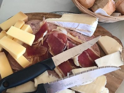
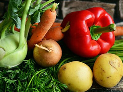
- Wine cellars and local produce
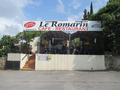
- Restaurants
- Wine cellars and local produce
- Attractions
- Outdoor activities