Panoramic Trail in Malepère
Possible by bike or on horseback.
Description
Yellow Markers
Start in the center of the village, just past the Tourist Information Center, by taking the Chemin de Ronde, then turn right onto Rue Porte Esquive. When you reach Place de l’Espérou, take the stairs down to Rue des Remparts. At the small intersection, turn left onto Rue des Pénitents, then right onto Avenue du Général de Gaulle.
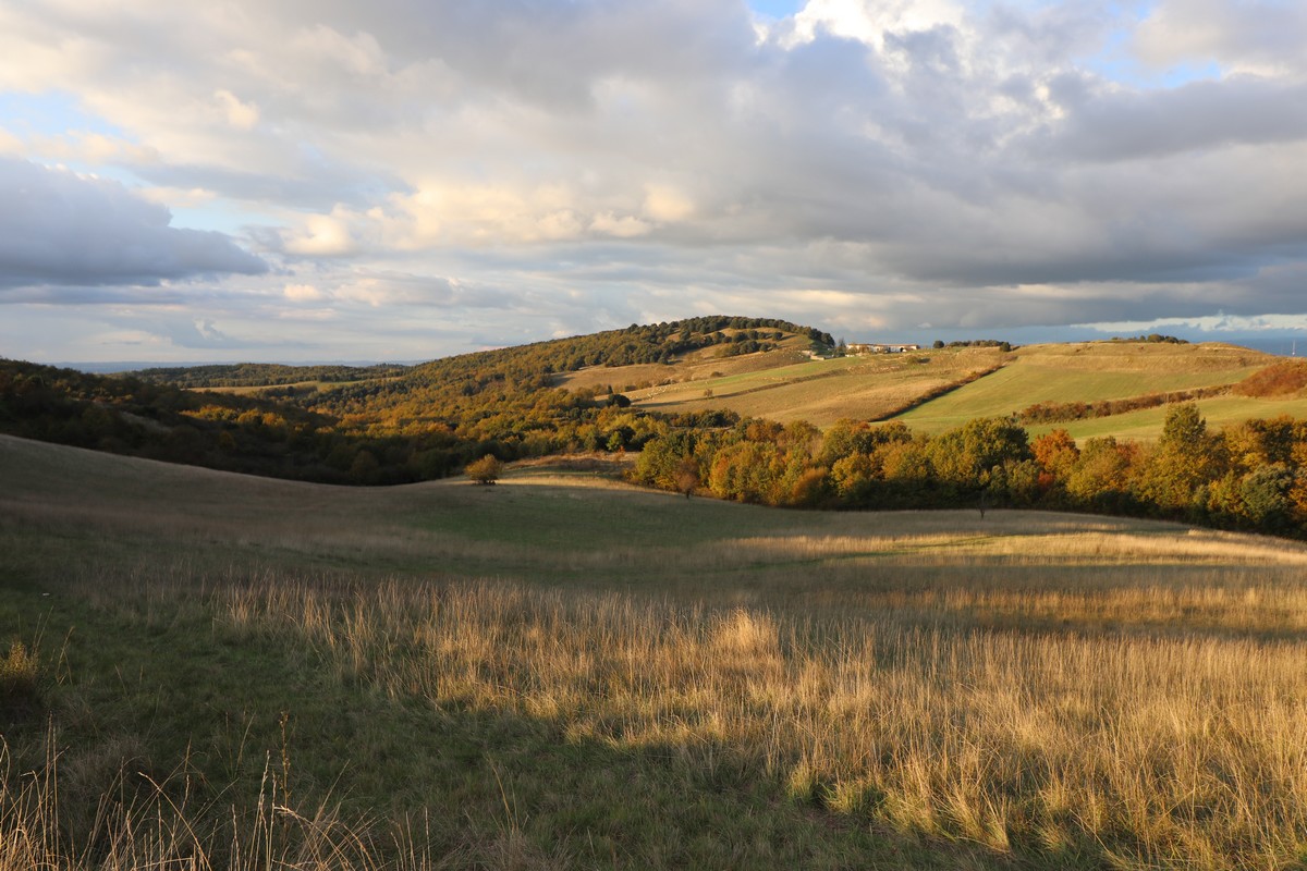
Exit the village; enjoy the view of the Malepère hills and the farmland. Land consolidation has not had the same devastating effect here as it has elsewhere, where hedges and windbreaks have been removed.
Pass “Cammas de bas” on your left. A former “castle” (Middle Ages), you can still make out the “mound” (a mound of earth on which the tower was built, the sole defensive structure).
Turn left onto the path from which you can see the restored sheepfold. (Back when the Collegiate Church was occupied by the canons, woodcutters worked for them in the Chapitre woods, and this building was certainly their home.) In front of the building stand two large oak trees planted during the reign of Louis XIII (1610–1643).
At the D.F.C.I. (Forest Fire Defense) cistern, take the path farthest to the right. Turn right as you descend. Along the edge, you’ll find pyramidal orchids, broom, and junipers. You’ll follow a botanical trail for 3.5 km featuring interpretive displays.
After the climb, the meadows. View of the TV tower on Mont Naut (442 m), the highest point of the mountain range. On the right: the countryside around “Sanches” (a former priory).
Pass to the left of the oak trees and climb through the meadows where the following grow: wild alfalfa, orchids, daisies, bird’s-foot trefoil, and heather.
On the right, dead trees: elms (decimated by Dutch elm disease, a fungal pathogen accidentally imported from the U.S. by sea).
In the woods, turn left. The red sign informs you that hunting is restricted and vipers are protected.
Exit the woods. At this point, keep an eye out for harriers (male or female) flying over the fields in search of food (see silhouette opposite). On the left, a park.
Pass “Calvayrac” on your left.
Junction with the road. Opposite, “Les Jasses.” Take a detour to Mont Naut to enjoy the panoramic view. After the bend, head up the small, rutted road leading to the summit.
Note: Position yourself facing the village of Montréal; you’ll see “Sanches” on your left, a former priory at the bottom of the Piège valley. Across from you lies the Lauragais plain, and behind the foothills of the Massif Central: the Montagne Noire. To the right is the Razès, and slightly behind it, the sharply defined Pic de Bugarach (1,230 m). On the hill behind, “Les Jasses,” a forestry operation where work is made difficult by the steep slopes.
On the way down, straight ahead: to the left, the Pic de Bugarach, then to the right, the Madres (a rounded dome) and the Ariège Pyrenees. On a clear day, the Pic du Midi is further to the right. Retrace your steps.
Turn left at the fork, then head down the quiet road, which soon follows the ridge and offers a view of the landscape: “Calvayrac” in the meadows—a postcard-perfect view. Montréal stands out in the background. Along the roadside, often perched on thorny bushes, you’ll see shrikes (they hang their prey on the thorns of the bushes, creating a pantry for themselves).
Notice the ground movement to the left, below the road—a textbook example of “solifluxion slabs.” This term refers to any movement of materials that have become plastic or liquid, detaching from a more stable underlying bedrock. It involves clay-rich materials that can turn into mud due to water infiltration. This loupe (terrace) detached from the underlying layer and slid over it (see diagram on the reverse).
“Le Prunet,” a goat farm. The road passes through the farm buildings and then descends between two woodlands, one of which, on the left, is fenced. Frequented by goats, the understory is kept clear and thus protected from fire hazards. The other, on the right side of the road and unfenced, is impenetrable and therefore poses a greater risk, highlighting the importance of maintaining livestock farming in these Mediterranean regions.
Take the path on the right beneath the road toward Arzens or the Alternative Route* (direct return to Montreal via the D43).
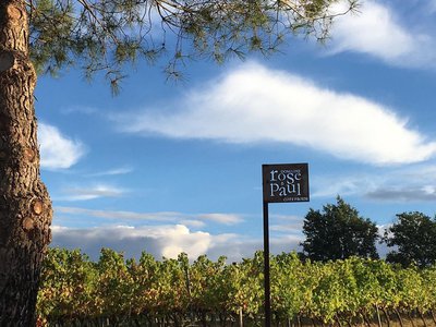
Vineyards come into view in the Malepère AOC. Notice the vine stakes, which were once carved from acacia wood (now replaced by treated pine).
“Bellevue,” past the property, is a damp ravine where tall trees grow (thriving in the moist soil): ash, acacia, walnut, wild cherry, and poplar—all very tall as they reach for the light.
The vineyards become more numerous as you descend.
Arrival in the village of Arzens (which once had several tile factories, one of which still exists on the D119). Follow the main road and pass in front of the market hall (shops). Continue straight ahead to join the alternate route of the Way of St. James: the Pyrenean Foothills Trail, where you’ll find the red-and-white trail markers again.
Turn left onto the Chemin de l’Horte (at the fire hydrant) and continue straight ahead.
Walk along the stream lined with willows, blackthorns, and cherry trees. Horsetail grows abundantly along the water’s edge. This plant, which colonized the swamps of the Carboniferous Period (the age of the dinosaurs), has survived to the present day, although it has become smaller. Its hollow stem contains a large amount of silica, which is why it was once used to scrub pots. Cross through the vineyards.
A steady climb along the path.
Pass “La Tuilerie Haute” and “La Tuilerie Basse” on your left (likely sites where roof tiles were once manufactured). In the farmlands, harriers and kestrels are frequently spotted.
Pass “Levrault” on your right and turn left.
Junction with the road leading to Montréal. Viewpoint overlooking the northeastern slope of the mountain range.
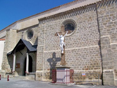
After the cypress hedge, turn left. On the right, a view of the Collegiate Church of Montréal.
Junction with the road taken on the way there. Turn right. Return to the parking lot.
- Departure : MONTREAL - D119 Information Point Parking Lot
- Arrival : MONTREAL - D119 Information Point Parking Lot
- Towns crossed : Arzens
Forecast
Altimetric profile
Information desks
More information

Report a problem or an error
If you have found an error on this page or if you have noticed any problems during your hike, please report them to us here:
Close by17
- Wine cellars and local produce
- Attractions
- Wine cellars and local produce
- Wine cellars and local produce
- Wine cellars and local produce
- Wine cellars and local produce
- Accommodation