The two valleys loop
Description
Signs : Yellow
Start at the crossroads, on the right of the "Circuit des 2 Vallées" sign.
Take the "allée des Cèdres" and go up the "avenue du Mauzac". Then continue on the small road, at the Y-shaped fork, take left until the pass.
Turn left onto a track for 50m and on the right, go through a gate to enter the cattle park. Go along the fences and pass them (handles) to find a ridge path.
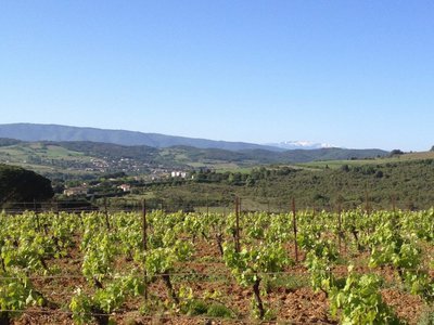
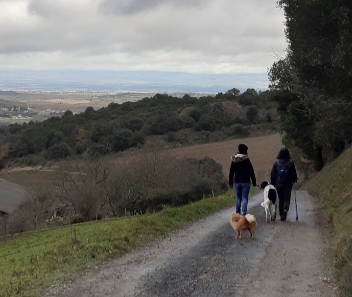
On this ridge and for 1 kilometre, you will have all the time to admire on one side the Aude valley, the Malepère and in the distance the Pyrenee mountain and the Montagne Noire. On the other side, you will dominate the Lauquet valley with a breathtaking view of the Abbey of Saint-Hilaire and the Western Corbières.
At the crossroads of the tracks, turn left onto the path that goes down the Coume Louvière valley. After the radio relay and the reservoir, go down into the village passing the church.
Turn left into rue des glycines, then left/right into "rue du Moyen Age". Opposite, go down the stairs and turn right into "rue du château". Join the "rue de la mairie", turn left one last time in front of the school to return to the starting point.
- Departure : POMAS – Parking lot behind the grocery
- Arrival : POMAS – Parking lot behind the grocery
- Towns crossed : Pomas and Saint-Hilaire
Forecast
Altimetric profile
Information desks
Access and parking
Route de Limoux D118, coming from Carcassonne exit after Rouffiac-d'Aude. Or take the D104 from Couffoulens and Verzeille, turn right before you reach St-Hilaire.
Accessibility
- Emergency number :
- 114
Report a problem or an error
If you have found an error on this page or if you have noticed any problems during your hike, please report them to us here:
Close by16
- Accommodation
- Accommodation
- Wine cellars and local produce
- Restaurants
- Wine cellars and local produce
- Accommodation
- Accommodation
- Accommodation

