The wall walk - Le Chemin de ronde
Description
Signs: Yellow markings topped by a square of the same colour
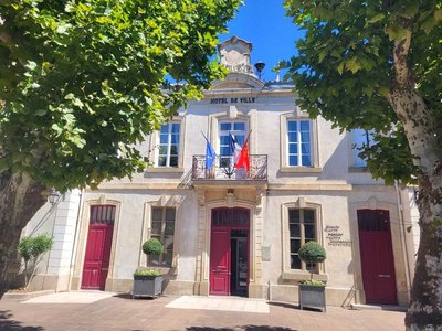
The departure is in the heart of the village of Capendu, “place de la Mairie”, in front of the sign. Pass in front of the post office and take the direction of Montlaur-Val de Dagne.
Be careful when passing through the level crossing ! Continue under the highway bridge.
First right-angle turn to the left, take the path going outwards below.
It winds through the vineyards to the D 57.
Turn right again, continue for about 600m/1970ft, just after a safety rail on the right-hand side of the road, inside the bend, take the uphill path.
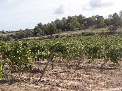
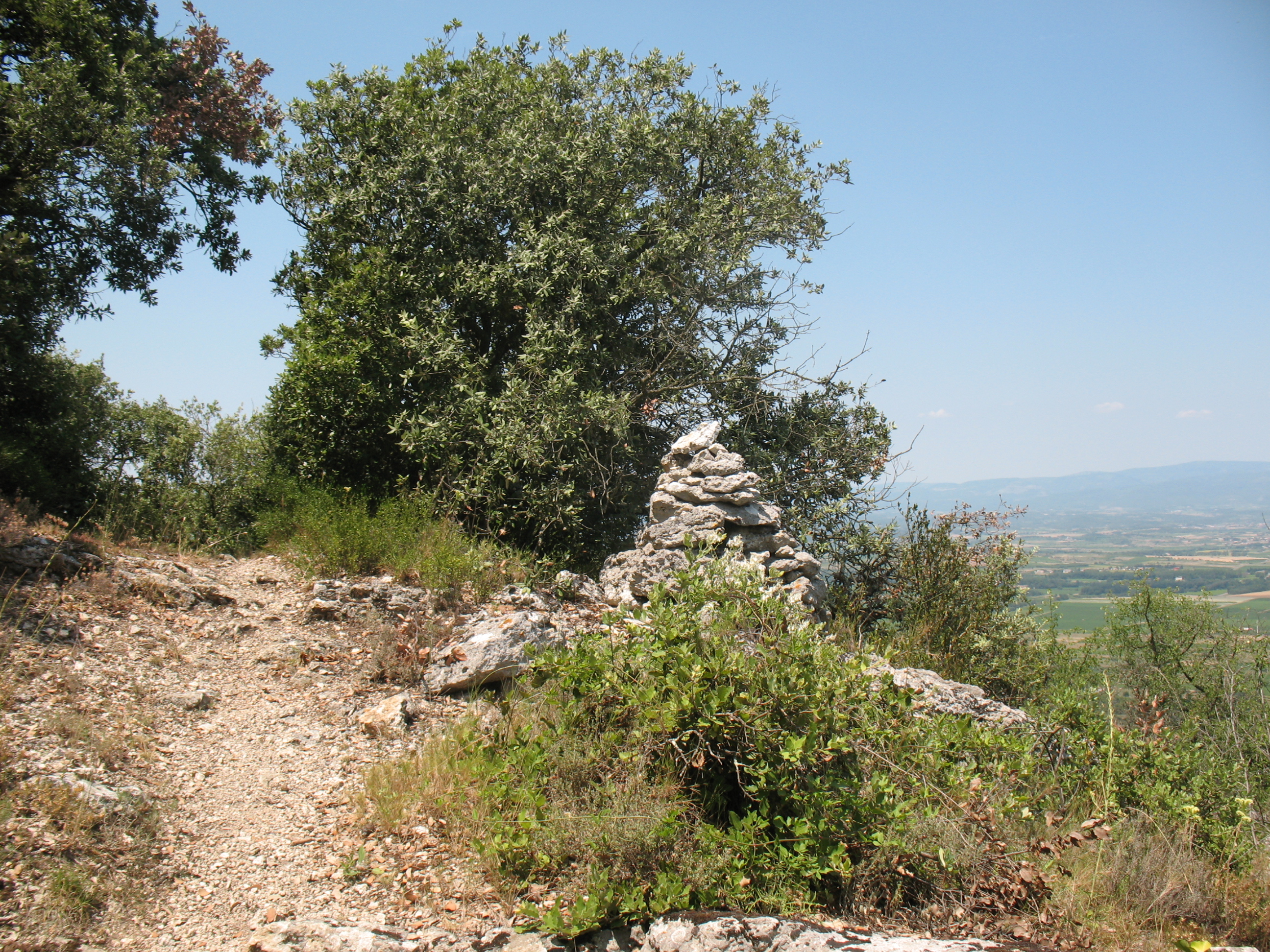
Small slope, in the shade of holm oaks and white oaks, very pleasant in hot weather.
Turn right and as you progress, take the time to observe the "couloir audois" (Aude corridor) criss-crossed by communication routes, the villages and in the background the Montagne Noire (Black Mountain).
Through the scree, the descent begins and then take the path that leads through the pines. Once at the bottom, cross the vineyard and turn right onto the path, first paved then tarred, which leads to the hamlet of "Font de Roque".
- Departure : CAPENDU - place de la Mairie parking lot
- Arrival : CAPENDU - place de la Mairie parking lot
- Towns crossed : Capendu
Forecast
Altimetric profile
Report a problem or an error
If you have found an error on this page or if you have noticed any problems during your hike, please report them to us here:
Close by14
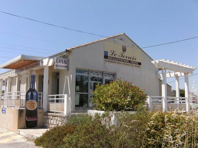
- Wine cellars and local produce
- Wine cellars and local produce
- Wine cellars and local produce
- Wine cellars and local produce
- Wine cellars and local produce

