Malepère Trail
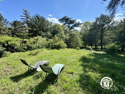
The Malepère, a NATURA 2000 site, consists of exceptional natural habitats, home to animal and plant species of ecological significance.
Heavily forested, the area owes its value to its biogeographic location—subject to both Mediterranean and Atlantic influences—and to its role in bat conservation.
Description
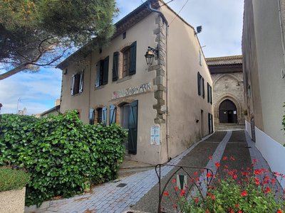
Start from the parking lot behind the Alairac elementary school in the center of the village (at the corner of the sign).
Head down Avenue de la Malepère, passing in front of City Hall, then continue straight ahead at the Y-junction toward Arzens and Montréal.
At the stop sign, cross the D211 and head straight ahead onto “Chemin des Castels.” On the left side of this road, a few almond trees line the slope.
Take the first path on the right, which descends slightly; there’s a wayside cross on the right-hand corner. Pass by the “Goutal” farm, where the remains of a windmill wheel and a hand-cranked pump stand.
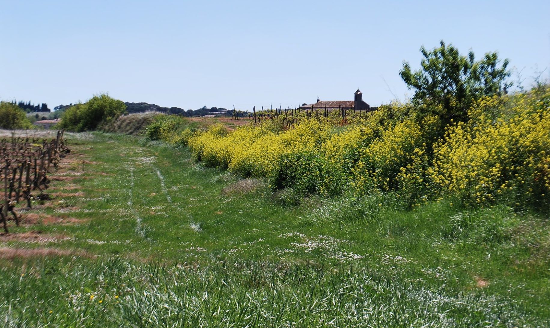
The path winds through vineyards and farmland.
To the right, a view of Lavalette. Here, vineyards dominate the landscape.
Pass the two turns—first to the left, then to the right—and take in the sight of the great cedar of Lebanon, standing alone in the middle of the vineyard.
After the stadium, at the junction with the D48, turn right toward the village. Two old mills, to the left of the road, are a reminder that grain was once at the core of the village. At the cemetery, the oldest cross in the Aude department bears an engraved date: 1540.
There’s a slight uphill stretch as you enter the village; pass by the post office, and at the intersection, head straight ahead toward Roullens and Limoux on the D211.
In exiting the village, at the first left turn, continue straight ahead between the two properties lined with thuja trees.
This path crosses vineyards and farmland, then passes through the “Ganès” stream.
At the crossroad, continue to the right uphill. Follow the top edge of the field, then enter the woods along the trail. Follow the marked path that leads to “Lavax.”
Before reaching this property, take a sharp right turn and follow this trail downhill through the woods. As you cross the “Ganès” stream, take a moment to admire the tall trees in the valley hollow: willows, oaks, and acacias.
The road climbs steeply to the D18, which you take to the right for 50 meters.
Cross the road and follow the fence downhill to a small grove further down. Cross the small stream and follow the path to the right as it climbs and runs through the vineyards.
Red-legged partridges thrive in this area, and you might be lucky enough to spot them.
In the spring, wild pansies and violets stand out along the edges of the slope with their distinctive colors.
You’ll reach a junction with the road; follow it to the right. On the left, before the cemetery, there is an old windmill.
At the corner of the cemetery, on the Alairac loop, turn right to return to the school.
- Departure : ALAIRAC - Parking lot below the school
- Arrival : ALAIRAC - Parking lot below the school
- Towns crossed : Alairac, Lavalette, Roullens, and Montclar
Forecast
Altimetric profile
Information desks
Access and parking
D 18 - then follow D 211
Report a problem or an error
If you have found an error on this page or if you have noticed any problems during your hike, please report them to us here:
Close by18
- Restaurants
- Accommodation
- Accommodation
- Wine cellars and local produce
- Accommodation
- Wine cellars and local produce