On the plateau de la Bade
The “Bade” plateau dominates the “Trapel” valley and the village of Villegailhenc. Since antiquity, this area has been a place of transit towards the Black Mountain.
Description
Signs: Yellow markings
Leaving from the cemetery in rue des Pyrénées.
Go up towards the plateau by a rather steep path and pass in front of the water tower.
Turn right onto the “chemin des hauts du Thou” and continue until you reach a grassy path. Follow it until you reach a crossroads: turn left and then immediately right.
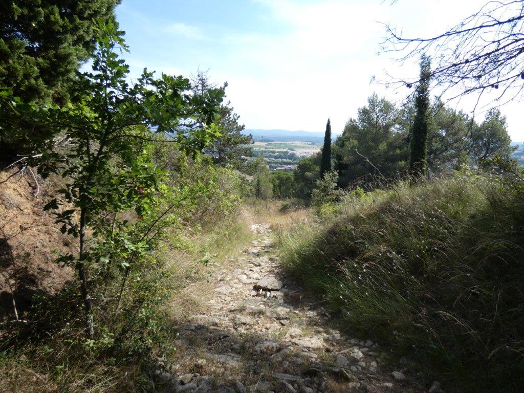
As you walk along the Bade Plateau, the dry-stone walls that once marked out the cultivated plots of land are still visible. On a clear day, the panorama of Carcassonne and its city is revealed with the Corbières and the Pyrenees in the background.
After going down the slope, take the track to the right in order to join the asphalt road linking Pennautier to Villegailhenc. Once there, notice in front of you a grey cylindrical marker indicating the passage of the “Méridienne Verte”: a project aiming to materialize the line of the meridian of Paris in France by trees.
Turn right for about 250m and then right again on a slightly uphill path. Follow the yellow marks up on the plateau, you will pass in front of a small well protected by a few stakes.
A little further on, you will see the panorama of the Montagne Noire and its highest point marked by the Pic de Nore (red and white antenna). The village of Villegailhenc is at your feet.
At the crossroads, take the left path which is paved with large pebbles and goes down to the outskirts of the village via “rue du Thou”.
Turn right on rue de la Bade and turn right one last time on rue des Pyrénées to get back to the starting point of the loop.- Departure : VILLEGAILHENC – Cemetary rue des Pyrénées
- Arrival : VILLEGAILHENC – Cemetary rue des Pyrénées
- Towns crossed : Villegailhenc and Villemoustaussou
Forecast
Altimetric profile
Report a problem or an error
If you have found an error on this page or if you have noticed any problems during your hike, please report them to us here:
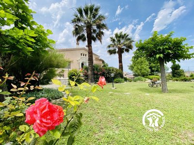
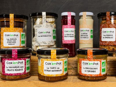
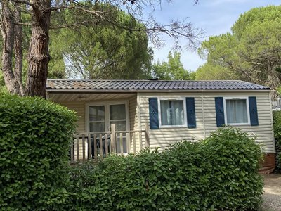
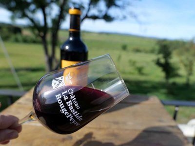
Close by41
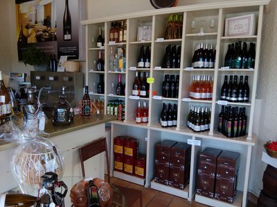
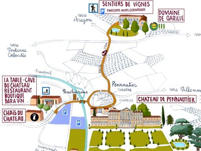
- Wine cellars and local produce
- Wine cellars and local produce
- Wine cellars and local produce
- Wine cellars and local produce
- Outdoor activities
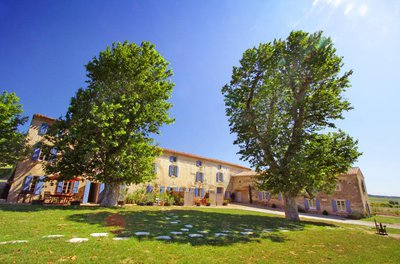
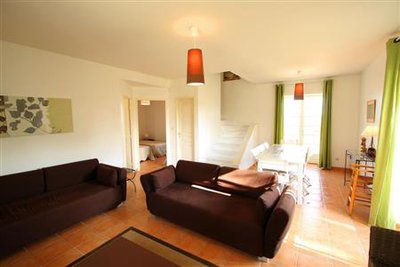
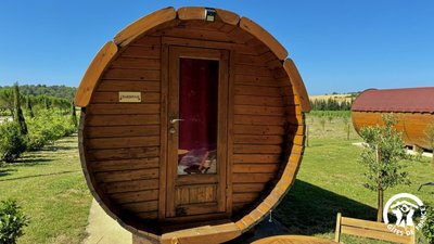
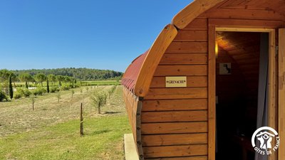
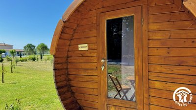
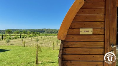
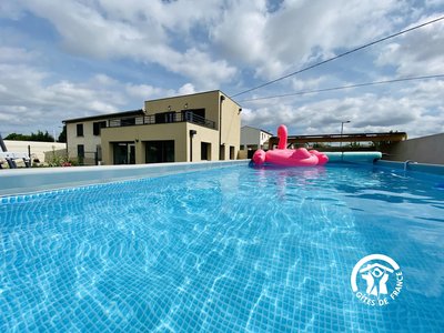
- Accommodation
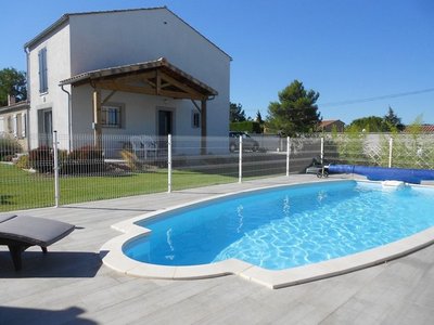
- Accommodation
- Wine cellars and local produce
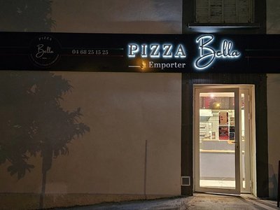
- Restaurants
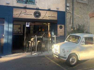
- Restaurants
- Accommodation