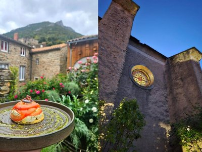
Dawn’s footsteps (Les pas de l’Aube)
Description
Signs: Yellow markings
Departure Place de l'Eglise.
Cross the bridge over the Clamoux. Turn right and then immediately left on the "Chemin de Brescou".
The path climbs between two walls and then crosses terraces with some fruit trees. Pass next to a “capitella” drystone hut.
After the scrubland, go past holm oaks and pass by the old sheepfold of "Costo Granie".
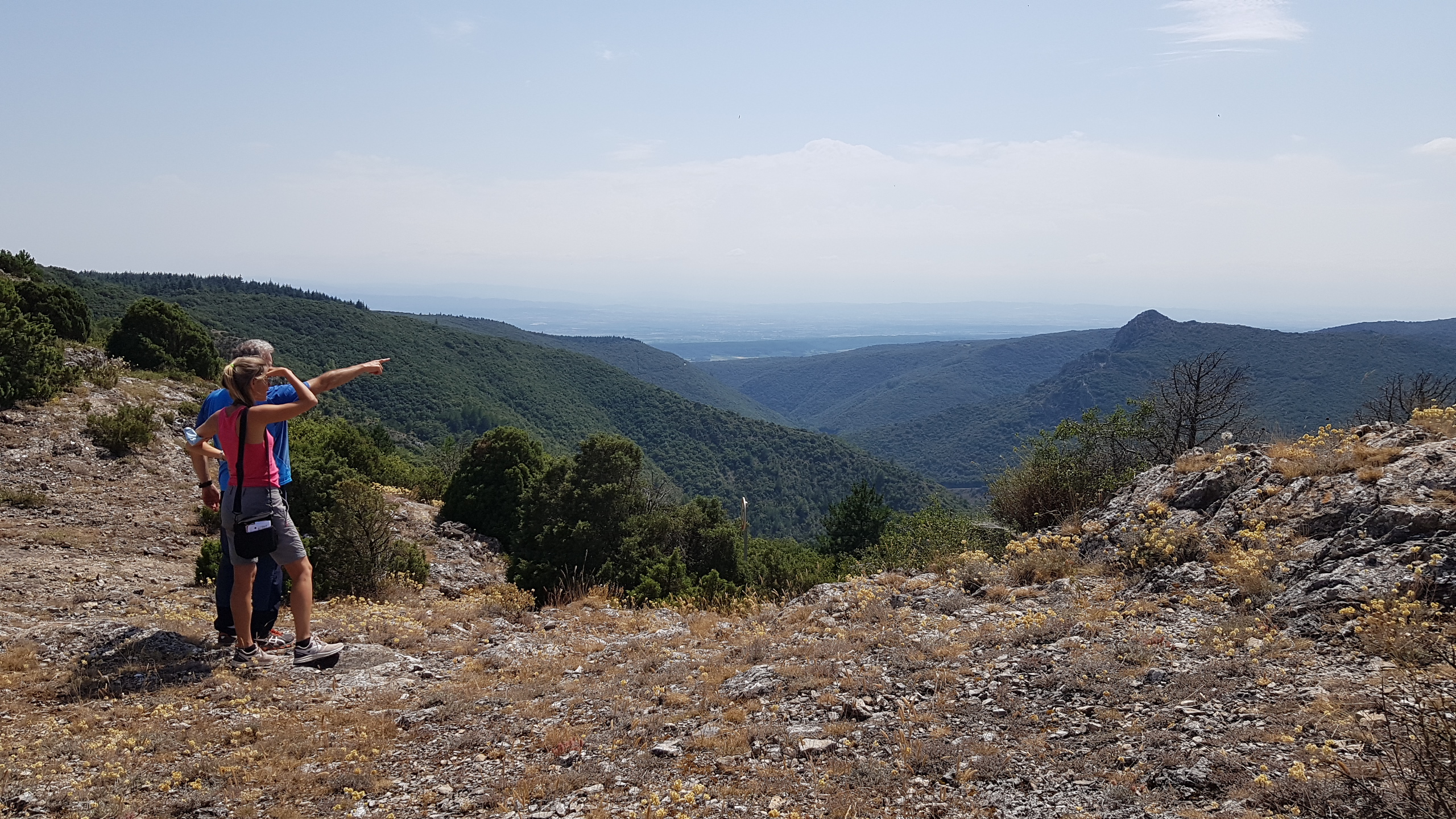
Climb up to the crest of the Cocaillère pass. Go down slightly and turn left along the fence. Take the track on the left towards the point of view of the "Traouc de l'Oulo" in the loop of the track, beware by strong wind, this place is very exposed.
After 100m turn left and continue on the track.
After a few meanders in the heather, turn right to go down to the stream "Belle Bruyère". Continue through the forest. Pass the brook of “Burgasse”, then a sheepfold, the brooks of “Laouzière” and “Fouzéry” to reach the road to “Serremijeanne” hamlet.
Cross and go down by the small path between the meadows and the stream.
To take on the right the road which goes down towards the brook of “Belle Bruyère”. Pass the footbridge, go up the road from where we see the "Cabanial" and join the road in a loop.
Turn right immediately on the downhill path that cuts the loops of the road.
Join the road before the hamlet of “Laval” and carry on back towards Cabrespine.
- Departure : CABRESPINE - Place de l'église
- Arrival : CABRESPINE - Place de l'église
- Towns crossed : Cabrespine
Forecast
Altimetric profile
Recommandations
In the event of floods, the passage of streams can be dangerous or even impossible : turn left on the municipal road of Serremijeanne to reach Cabrespine.
Information desks
Tourist Information Center - Caunes Minervois
Ruelle du Monestier, 11160 Caunes-Minervois
Report a problem or an error
If you have found an error on this page or if you have noticed any problems during your hike, please report them to us here:
Close by10
- Accommodation
- Wine cellars and local produce
- Restaurants