The Quiersboutou
Description
Signs: Yellow
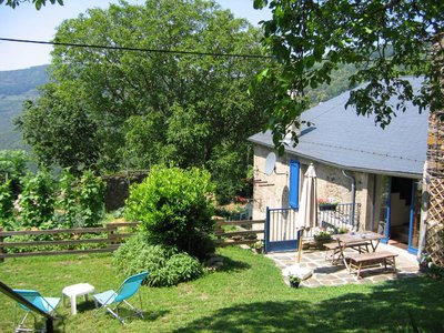
Take the road along the top of the cemetery, pass the (gite) and the lavoir and go through the hamlet up to the last house on the right. Go down an alley on the right between houses and gardens.
It turns into a path and leads down to the houses of the Moulin de Bru.
Turn left, cross the bridge, turn left again for 20m/65ft and leave the road to the right for a small path that climbs between heather and reaches a track.
Take it to the left and join the D 9 at the hamlet of Escandelle.
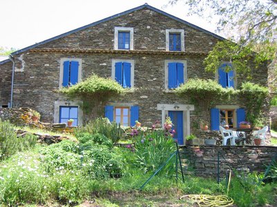
Take the road to the right and leave it, just after the bend, for an alley between the houses which, after two bends, becomes a path.
The latter also has two bends and climbs gently up to the chestnut trees, then crosses the Triby stream, makes a zigzag and continues to a track. Cross it and walk up along the fence of the telephone relay on 15m/50ft.
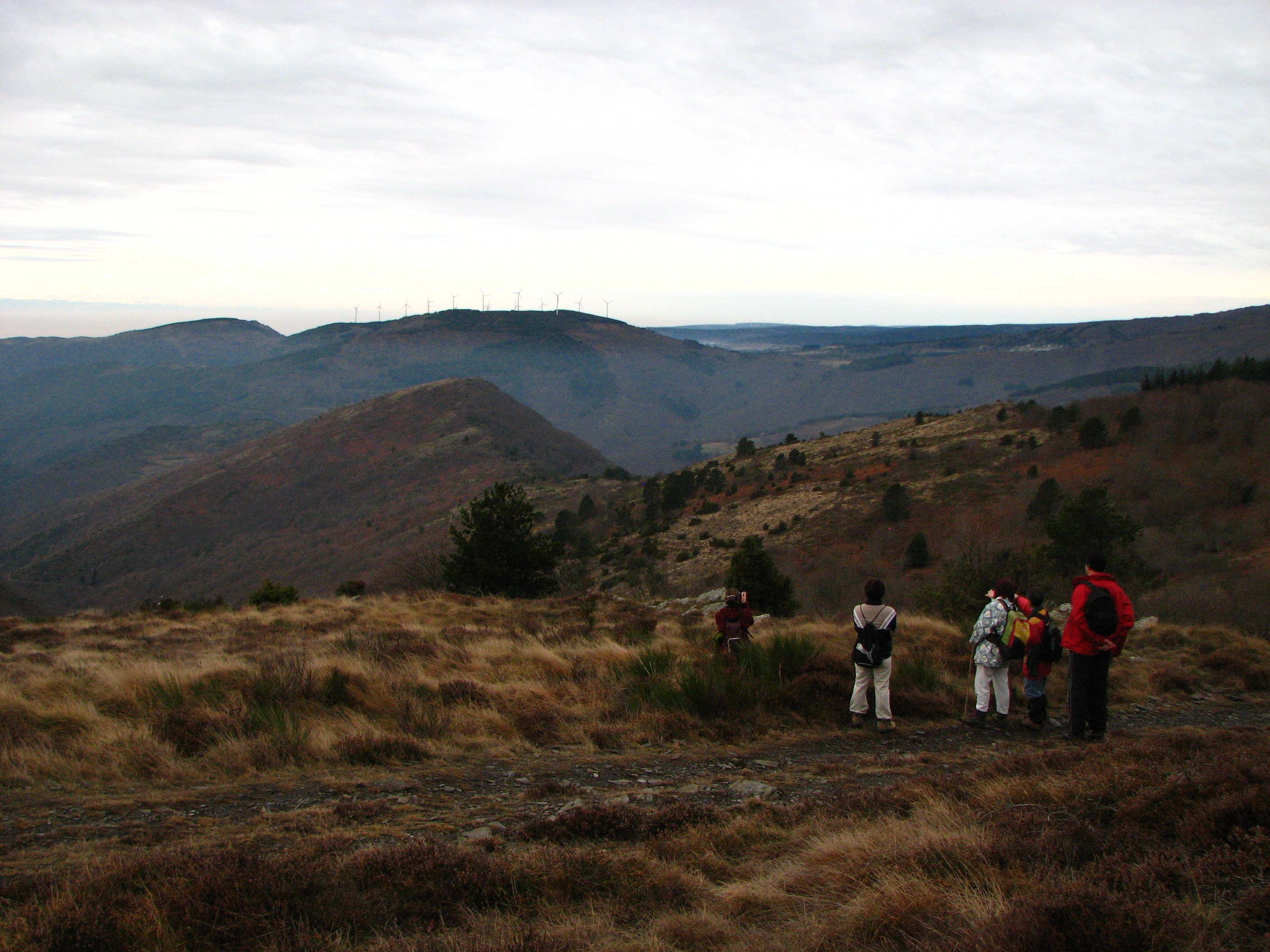
Leave the path just before the old wild pear tree and turn right on the ridge path, between ferns, broom and rocks up to the top of Quiersboutou where a large cairn (heap of stones) stands.
Go downhill, off the path, following the cairns and the markings on the ground.
Pass under the power line and reach a pass above the hamlet of Serremijeanne.
Cross a grassy path with few marks and 50m/165ft further on, spot on the right a slope which goes down while sneaking in the middle of broom.
Follow it through the chestnut groves until you reach a dirt track, which you follow on the right for 50m/165ft and then turn left onto the tarred road going down to the hamlet of Thérondel-Bas.
Go down on the left along the house and reach the river.
Cross the bridge and go up opposite. At the end of the road, turn right for 50m/165ft only.
Leave the track on the left for a path that climbs quickly with a steep slope.
It reaches the D 189. Take the last steep path opposite up to the tarred road of the hamlet of Bourdials.
Follow it on the right, at the end of the asphalt continue straight ahead by the path in undergrowth; it passes under the hamlet of Raissac and leads to the D 9.
Turn right onto 50m/165ft then left the path going up to the parking lot of Cayac.
- Departure : CASTANS – Parking lot of Cayac in the hamlet of Laviale
- Arrival : CASTANS – Parking lot of Cayac in the hamlet of Laviale
- Towns crossed : Castans and Cabrespine
Forecast
Altimetric profile
Information desks
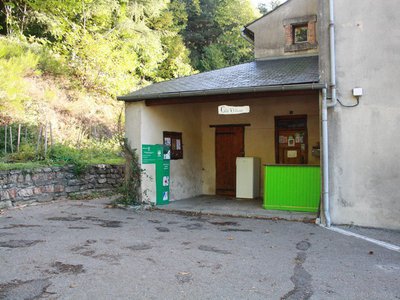
Tourist Information Center - Caunes Minervois
Ruelle du Monestier, 11160 Caunes-Minervois
Report a problem or an error
If you have found an error on this page or if you have noticed any problems during your hike, please report them to us here: