The Panoramas
On the outskirts of Pradelles-Cabardès, in the icehouses, vast covered pits, snow was piled up and kept cold to produce ice, which was stored there until summer and delivered by cart to neighboring towns. It was the village’s “white gold.”
Also worth seeing: The seven bells, The double-sided cross, The washhouse, The votive chapel of Notre Dame de la Pitié, The lamas of Castans.
Description
Yellow and Green Trail Markers
Head up the paved road for 400 meters. At the fork, take the forest road to the left until you reach a wide trail 2 km further on.
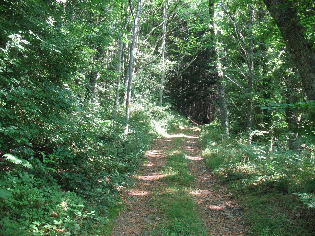
Follow it to the right for 3.3 km along long switchbacks, winding through rocks and coniferous trees. At the intersection with another trail, turn left toward the D 87.
Follow it to the right for 200 meters, then leave it on the right to take a rutted firebreak that climbs through the heather.
At Pic de Nore, the viewpoint is 50 meters to the left of the trail. To head back down, follow the road to Carcassonne (sign for “Z.A. de loisirs”) for 600 meters.
Stay on the right shoulder of the road to find the path that branches off to the right into a pasture.
Take this path, which curves widely for 300 meters; at the intersection, turn left and then veer right, staying along the edge of a woods for 1 km. Then head straight down through the woods.
Look for a large clearing on the left used by foresters for maneuvering. 50 meters further down, leave the path and turn right at a right angle onto a slightly ascending path through the beech trees.
When you reach the open area, 1 km further on, continue straight ahead until you come to a trail. Take it to the left.
The trail climbs until it passes by the Roc de Nouret, which lies dormant to the right of the path. Descend for 2 km along the rocky path that runs alongside the forest. Continue downhill until you reach a stone cross.
Turn left onto the sunken path lined with standing stones, which passes by ice houses and leads to the RD 87.
Take the paved road straight ahead that enters the village of Pradelles and reaches the church square (featuring a beautiful octagonal rock).
Leave the square via the stairs and descend to the D112. Take the path directly ahead that leads to the lake (refreshment stand in summer, 100 meters to the right).
Continue along the path, then turn left onto a lane lined with a row of conifers. Continue to a small concrete bridge.
Cross the bridge, cross a trail (ice houses 100 meters to the left), and reach the D 1009. Take the road to the left for 100 meters.
At the intersection, turn into a pasture directly across the road, then head down through the woods in a wide zigzag until you reach the Mulet Stream.
Cross the wooden footbridge and continue along the path to the D 9. Follow the road to the left, passing through the hamlets of Bourdials and Raissac, to return to the Cayac parking lot.
- Departure : CASTANS - Cayac Parking Lot in the hamlet of Laviale
- Arrival : CASTANS - Cayac Parking Lot in the hamlet of Laviale
- Towns crossed : Castans and Pradelles-Cabardès
Forecast
Altimetric profile
Information desks
Tourist Information Center - Caunes Minervois
Ruelle du Monestier, 11160 Caunes-Minervois
Access and parking
From Carcassonne, via Villeneuve-Minervois and Cabrespine; from Mazamet, via Pradelles-Cabardès.
Report a problem or an error
If you have found an error on this page or if you have noticed any problems during your hike, please report them to us here: