The wildboar
Description
Signs: Yellow markings and Orange Wild Boars
From the sign in the village, continue up the D43 and drive past the parking lot. After leaving the village, at the fork, turn right uphill.
Further on, leave the “Touloury” property on your right.
On the plateau, you can breathe and admire on your right the Rouffiac and Preixan vineyards, then behind, the white vineyards of the plain and the Corbières in the background.
At the road, turn right: you enter an area of crop-livestock (cattle). At the "Boulbonne" farm, turn left. The residential buildings are protected from the sun by large lime trees.
Follow the fence on the left, this is a short climb. On the field on the left, the harrier St-Martin can often be seen (this grey raptor with black wingtips, flies like a glider at 2m from the ground to surprise field mice and voles).
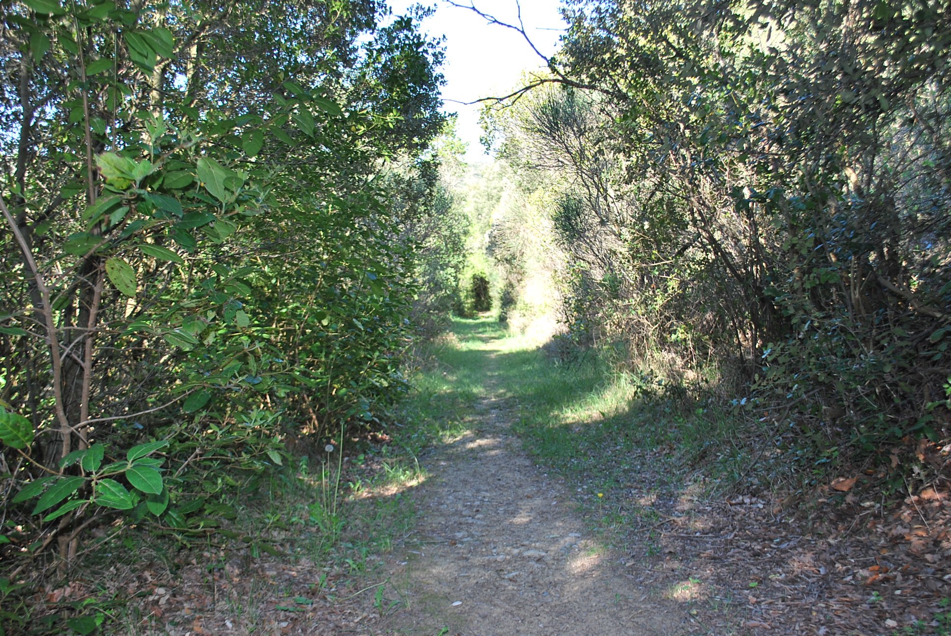
You may also see the lark, high in the sky, beating its wings very quickly and singing continuously. Very pleasant passage in the oak woods where you will enjoy this area of shade and coolness in summer.
Holm oaks and white oaks accompanied on the edge of the path by fragon (tall, very straight stem, small dark leaves, red balls).
Cross the track which leads to "Lavax" and go up opposite. This path runs along the road D43 in the undergrowth. In wet weather, presence of wild boar tracks.
Arriving on the road D43, take the track opposite and go down towards "Le Dégo". On the side of the road, notice the geraniums (pink-purple) and cistus (white). This area is often overflown by the circaetes whose cry will not leave you indifferent. Leave "Dégo" on the right and continue on the left.
This track was traced for the Forest Fire Defence. It is pleasant and in some places you can admire the view of the Pyrenees in the background and in front, a hill which shelters a private animal park.
50m after the junction leading to the property "La Soulette", there is a fork. Turn left onto a path descending through a coppice of oaks and strawberry trees. Leave the ruin (barely visible because it is covered with ivy) on the left and go straight ahead. It can be seen by the presence of cypress trees. Always go down the path.
Turn left to reach the brook. On the bank of the brook are two varieties of ferns including the scolopendre (long flat leaves). The path goes along the brook and by raising your head, you will see in this big dead trunk the holes of the woodpecker, the bird that gives the impression of making fun of us when he sings.
The path goes up and crosses a rather high scrubland from where, in spring, the strong smell of broom is released. At the junction with the access path that leads to Bédounet, turn right and walk along the edge of the field on the grassy path that runs under the property.
Observe the restored dovecote on the building and in the descent a view of the village of Montclar.
The agriculture of the heights now gives way to the vineyards of the Malepère. On the right-hand side, you can see "Malfouich", a former agricultural property. The cypress hedge is quite typical of the crop protection against the wind.
Once on the road, turn left and in the hollow, is built a stone building on which rests a rusty metal mechanism. It was the water point that the wind turbine was going up, later replaced by an engine that is now abandoned.
Finally, a steep climb up to the village and at the crossroads, turn right.
- Towns crossed : Montclar, Roullens, and Villarzel-du-Razès
Forecast
Altimetric profile
Information desks
Report a problem or an error
If you have found an error on this page or if you have noticed any problems during your hike, please report them to us here:
Close by13
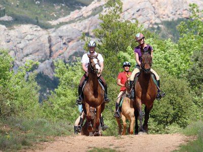
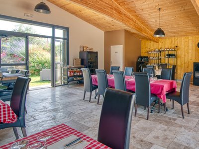
- Outdoor activities
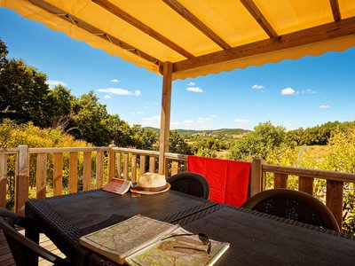
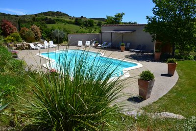
- Accommodation
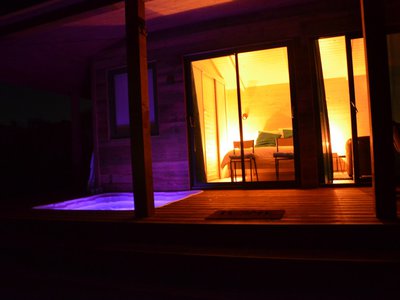
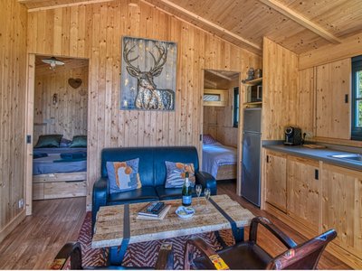
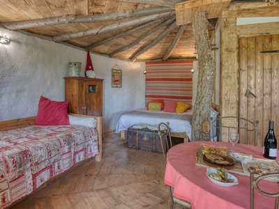
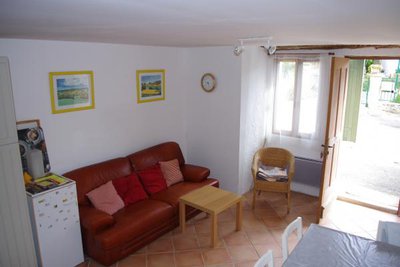
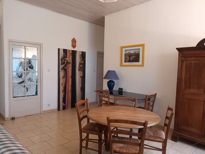
- Accommodation
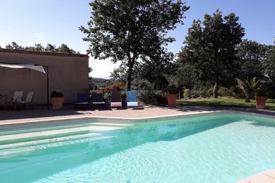
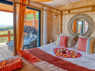
- Accommodation