Around Miramont
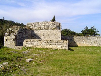
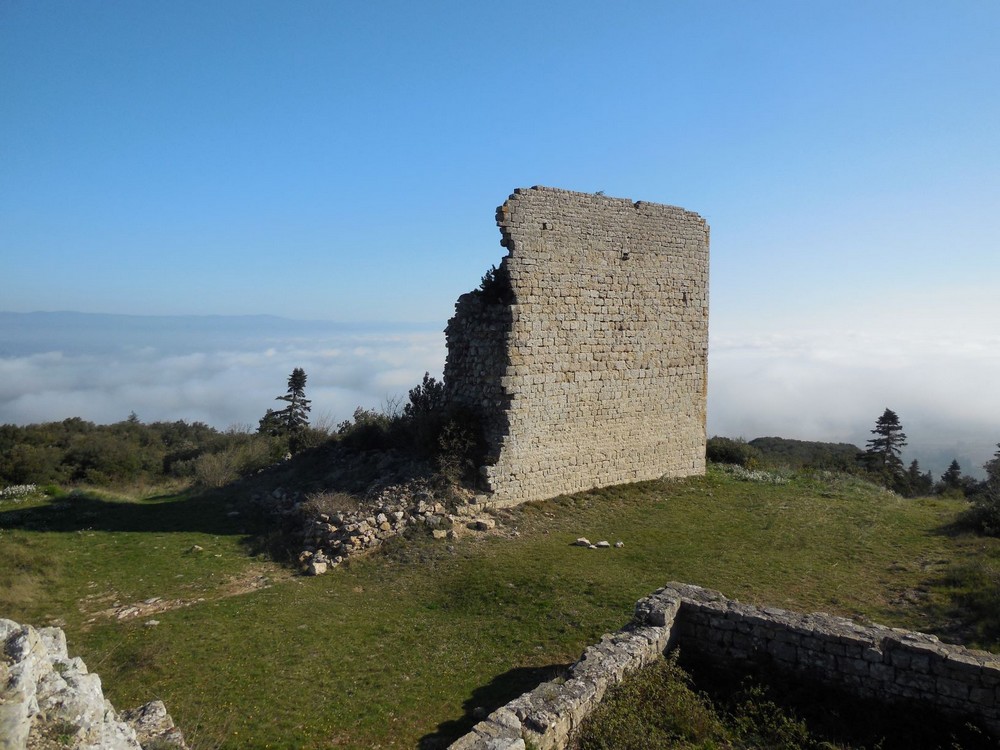
The vestiges which still remain, were built on top of the foundations of the castle of the Visigothic king, Alaric II. Erected on a strategic point, the castle was probably built by the lords of Capendu at the beginning of the Middle Ages.
The remains of the Miramont Castle are attached to the northern side of the Alaric mountain, 4 km southwest of the town of Barbaira. Standing on the isolated plateau at an altitude of over 300m/985ft, this site is a protected area.
Description
Signs: Yellow markings topped by a circle of the same colour
From the “Place du 14 Juillet” square take the rue de la Mairie, pass under the railway line and take the Côte à Cailloux (steep pebble path), a medieval track. Place de l'Eglise, take the rue du Carrayrat then turn left on rue de la Faichette. Turn right on rue de Miramont and follow the chemin de la Tuilerie to leave the village.
Pass under the highway and turn right for about 200m/656ft.
Turn left, then right, on a slightly steep path lined with low walls. Follow the Chemin du four à Chaux up to the parking lot of the plant nursery. Cross the D8008 and follow the path to the plant nursery for 200m/656ft.
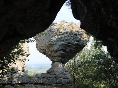
Turn right onto the Pas de Roland path, then a few dozen meters further on, this will take you to a viewpoint overlooking the Aude valley, the Minervois relief as far as the edge of the Montagne Noire.
Carry on along the path up to the "departmental" road.
At this point, turn left for about 600m/1970ft.
At the track intersection, turn left and go down the path on 200m/656ft.
You are on the site of the remains of the Miramont castle.
Then carry on going down by the same route towards the plant nursery, turn right to reach the village by taking the departmental road D8008 through the farmstead "metairie" towards the village.
- Towns crossed : Barbaira and Floure
Forecast
Altimetric profile
Information desks
Report a problem or an error
If you have found an error on this page or if you have noticed any problems during your hike, please report them to us here:
Close by10
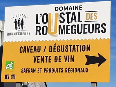
- Wine cellars and local produce