The eagle rock
Beautiful point of view from the “Roc”. A diversity of landscapes in only a few hours walk will make your journey pleasant and enjoyable.
Description
Yellow markings
Cross the road opposite the entrance to the Espace Maguelon and take a tarred road that climbs up to the left. If you look down on the sides, you will soon notice a succession of small signs indicating the names of the plants that have taken root on the path. This botanical trail will lead you to the pass.
When you reach the first houses, return to the path on the right, which climbs hairpin turn under holm oaks. Here you take an old path that leads to the cirque of Escoles, that was a century ago, land of the best vineyards and once the land of the lords of Cabrespine. In this first part of the path, the Cabardès schist outcrops, which will soon give way to limestone up to the summit.
Suddenly, at the crossing of a path coming from the left, we find a concrete section on 25m/80ft.
You are close to the entrance of the "Gouffre Géant" cavern (that you can visit, approximately 45mn, ask about visiting hours (tel: +33 (0)4 68 26 14 22). The path goes around and behind the buildings. Here the route crosses a Natura 2000 listed area which especially protects bats.
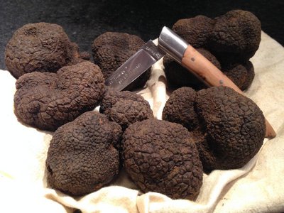
A few hundred metres above the path runs along a magnificent wall of dry stones. Then we discover on the left in this wild environment some recently cleaned plots of land; they are truffle patches.
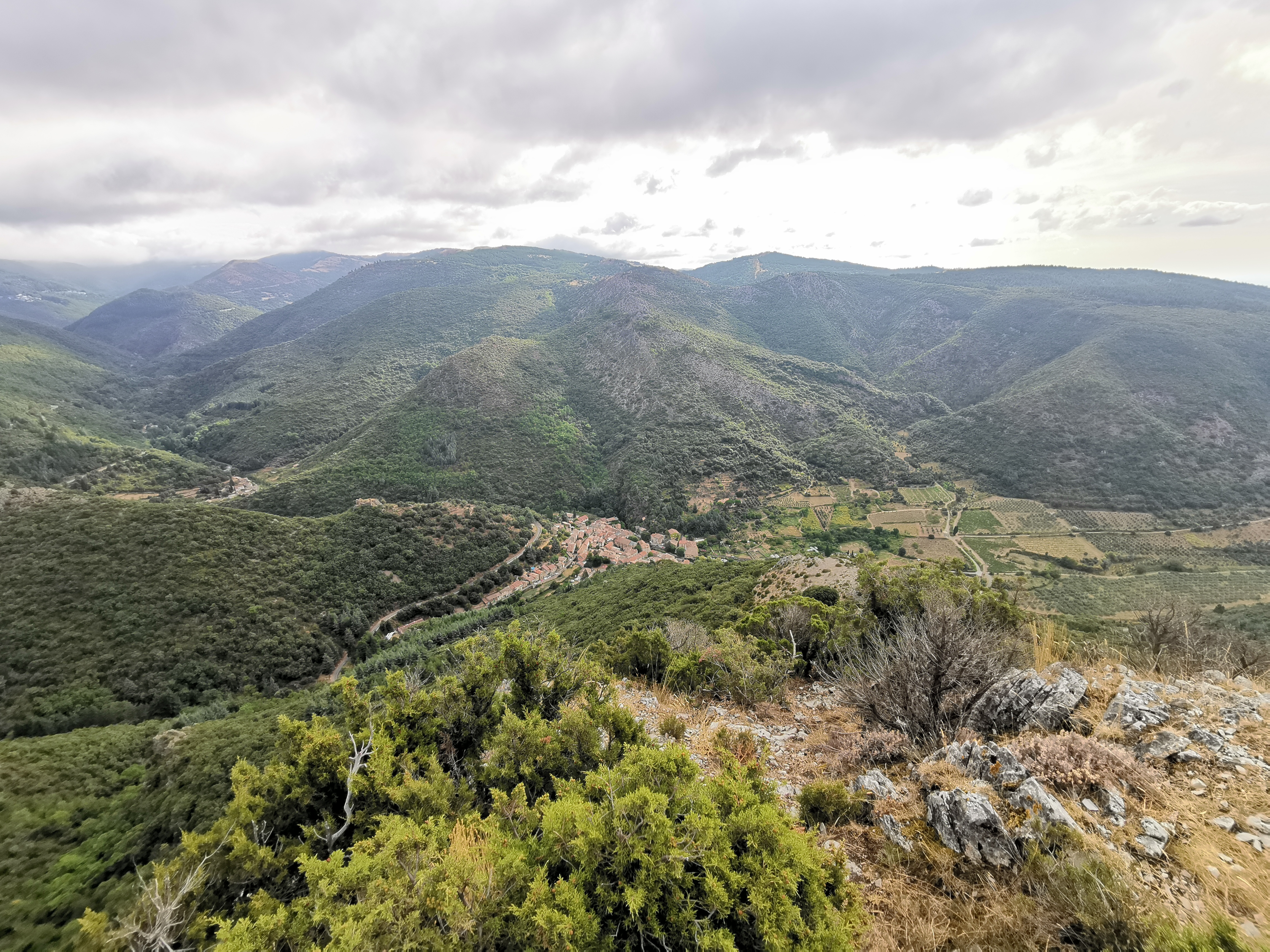
Shortly after , you reach the pass where you are invited to take a few steps to your left, facing south to get a magnificent view of the Escoles site. The rocky cirque configuration in the heights is followed downwards by a succession of terraces well exposed and protected from the wind. Leaving the route of the "Las Escolas" loop on the left, take the path to cross the bottom of the valley and pass near a ruined sheepfold to, after a bend to the left, progress for about fifty metres on the side.
You will soon find a path on the left that goes down. It leads to the cave of the maquisards, a high place of the WW2 resistance in the Montagne Noire. You can make this detour on the outward or return journey (40 minutes return) to grasp the living environment of these Resistance fighters, most of whom were executed, and to feel the breath of freedom that we owe them.
By taking the path back where you left it, you reach a small pass. Leave the path leading to Trassanel on your left and take the one on your right which goes north first over grassy crests, then over pebbles and rocks, following the route which winds between the cairns (artificial heaps of stones) up to geodetic point 700.
Then head east on the ridge up to the Roc de l'Aigle. At the arrival, give yourself a time to recover in front of the Pyrenees and enjoy the panoramic view without moderation!
- Departure : CABRESPINE – Parking lot “Espace Maguelon”
- Arrival : CABRESPINE – Parking lot “Espace Maguelon”
- Towns crossed : Cabrespine and Trassanel
Forecast
Altimetric profile
Recommandations
Don't forget water, hat, (electric lamp if you want to go through the cave of the Maquisards).
Access and parking
Parking lot at the exit of the village on the road leading to Pradelles-Cabardès
Report a problem or an error
If you have found an error on this page or if you have noticed any problems during your hike, please report them to us here:
Close by8
- Accommodation
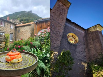
- Wine cellars and local produce
- Restaurants